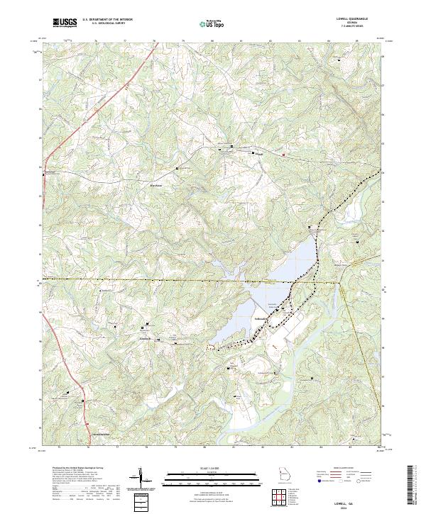
2024 Map of Lowell
USGS Topo · Published 2024About this map
Lowell and its surrounding communities are documented here as they transition through the early 21st century, centered on the intersection of Carroll, Heard, and Coweta counties. The landscape is defined by the Chattahoochee River as it winds southward, flanked by numerous small family and community burial grounds that point to the deep generational roots of the area. Significant genealogical resources are scattered throughout the hills, including the Old Glenloch Cem, Watson Cem, and Pentecost Cem.
Find a feature on this map
109 named features on this map. Tap any name to fly to it.
Don’t see what you’re looking for? This feature index may not catch every label — zoom into the map to look around manually.
Map Details
Editions of this 2024 Lowell Map
This is the sole edition of this map. No revisions or reprints were ever made.
Other maps of this area

1889 · Tallapoosa
USGS Topo · 1:125,000

1891 · Marietta
USGS Topo · 1:125,000

1892 · Tallapoosa
USGS Topo · 1:125,000

1895 · Marietta
USGS Topo · 1:125,000

1897 · Marietta
USGS Topo · 1:125,000

1897 · Tallapoosa
USGS Topo · 1:125,000

1899 · Wedowee
USGS Topo · 1:125,000

1901 · Marietta
USGS Topo · 1:125,000

1902 · Wedowee
USGS Topo · 1:125,000

1953 · Atlanta
USGS Topo · 1:250,000