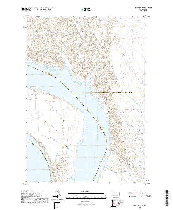
2021 Map of Lower Brule NE
USGS Topo · Published 2021About this map
Lake Sharpe dominates this Central South Dakota landscape, where the waters of the Missouri River reservoir meet a complex intersection of tribal and county borders. The map records a convergence of four counties—Hyde, Lyman, Buffalo, and Hughes—along the river's winding course. This modern survey illustrates the current road network serving the region, including local routes like Little Bend Rd and Bia Rte 3. The terrain is defined by the contrast between the broad expanse of the reservoir and the dissected uplands carved by smaller drainages such as Soldier Cr. A notable cultural detail is the naming of Soup & Frybread Rd near the eastern bank, reflecting the local heritage and community presence in this Missouri River valley corridor.
Find a feature on this map
15 named features on this map. Tap any name to fly to it.
Don’t see what you’re looking for? This feature index may not catch every label — zoom into the map to look around manually.
Map Details
Editions of this 2021 Lower Brule NE Map
This is the sole edition of this map. No revisions or reprints were ever made.
Other maps of this area

1953 · Huron
USGS Topo · 1:250,000

1954 · Huron
USGS Topo · 1:250,000

1966 · Lower Brule NW
USGS Topo · 1:24,000

1966 · Stephan
USGS Topo · 1:24,000

1966 · Big Bend Dam
USGS Topo · 1:24,000

1966 · Lower Brule SW
USGS Topo · 1:24,000

1966 · Lower Brule NE
USGS Topo · 1:24,000

1966 · Lower Brule
USGS Topo · 1:24,000

1973 · Chapelle Lake SE
USGS Topo · 1:24,000

1973 · Chapelle Lake SW
USGS Topo · 1:24,000
Featured Places
- Big Bend District, SD
- Fort Thompson District, SD
- Grey Hill West Township, Fort Thompson District
- Hughes County, SD
- Buffalo County, SD