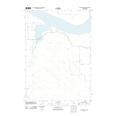
2012 Map of Lower Brule SW
USGS Topo · Published 2012About this map
Lake Sharpe dominates the northern landscape of this Big Bend District region, reflecting the engineered Missouri River valley as it appeared in the early 21st century. The terrain is defined by the winding course of Medicine Cr and the smaller Bad Horse Cr, which carve through the prairie towards the lake. A network of rural and tribal roads, including Hwy-1806, Bia 27, and Traditional Rd, provides access across this sparsely populated section of Hughes County. The alignment of Bia Route 17 and Co Hwy-30 indicates the modern infrastructure supporting the area's agricultural and local transit needs. This survey from the U.S. Geological Survey details the contemporary hydrography and elevation of the South Dakota landscape.
Find a feature on this map
12 named features on this map. Tap any name to fly to it.
Don’t see what you’re looking for? This feature index may not catch every label — zoom into the map to look around manually.
Map Details
Editions of this 2012 Lower Brule SW Map
This is the sole edition of this map. No revisions or reprints were ever made.
Other maps of this area

1953 · Huron
USGS Topo · 1:250,000

1954 · Huron
USGS Topo · 1:250,000

1955 · Mitchell
USGS Topo · 1:250,000

1959 · Mitchell
USGS Topo · 1:250,000

1966 · Lower Brule NW
USGS Topo · 1:24,000

1966 · Joe Creek
USGS Topo · 1:24,000

1966 · Lower Brule SW
USGS Topo · 1:24,000

1966 · Joe Creek SE
USGS Topo · 1:24,000

1966 · Lower Brule NE
USGS Topo · 1:24,000

1966 · Lower Brule
USGS Topo · 1:24,000