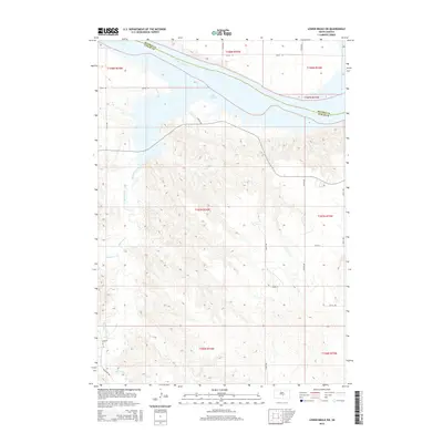
2015 Map of Lower Brule SW
USGS Topo · Published 2015About this map
Lake Sharpe dominates the northern landscape of this South Dakota interior, where the Missouri River defines the boundary between Hughes and Lyman counties. The terrain south of the reservoir is marked by the intricate drainage systems of Medicine Creek and its tributary, Bad Horse Cr, which cut through the high prairie bluffs. This 2015 survey illustrates a sparsely populated region of the Big Bend District, where movement is dictated by a rigid grid of rural corridors such as 225th St and 321st Ave. A primary north-south artery, S Nation Rd, winds across the hills toward the water, reflecting the intersection of modern infrastructure and the natural contours of the river valley.
Find a feature on this map
24 named features on this map. Tap any name to fly to it.
Don’t see what you’re looking for? This feature index may not catch every label — zoom into the map to look around manually.
Map Details
Editions of this 2015 Lower Brule SW Map
This is the sole edition of this map. No revisions or reprints were ever made.
Other maps of this area

1953 · Huron
USGS Topo · 1:250,000

1954 · Huron
USGS Topo · 1:250,000

1955 · Mitchell
USGS Topo · 1:250,000

1959 · Mitchell
USGS Topo · 1:250,000

1966 · Lower Brule NW
USGS Topo · 1:24,000

1966 · Joe Creek
USGS Topo · 1:24,000

1966 · Lower Brule SW
USGS Topo · 1:24,000

1966 · Joe Creek SE
USGS Topo · 1:24,000

1966 · Lower Brule NE
USGS Topo · 1:24,000

1966 · Lower Brule
USGS Topo · 1:24,000