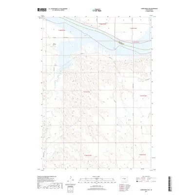
2017 Map of Lower Brule SW
USGS Topo · Published 2017About this map
Messiah Episcopal Cem sits on the bluffs overlooking the Missouri River in this 2017 survey of the Big Bend District. This reach of the river, known here as Lake Sharpe, defines the northern boundary between Hughes and Lyman counties. The interior landscape is a network of winding drainages, most notably Medicine Creek and Bad Horse Cr, which carve through the high plains south of the reservoir. Transportation in this portion of the Lower Brule region is defined by a mix of state and tribal routes, including Hwy 1806 and BIA Hwy 10. Local landmarks such as Looking Hawk Ln and N Iron Nation Rd reflect the specific cultural geography and lineage of the land south of the river.
Find a feature on this map
29 named features on this map. Tap any name to fly to it.
Don’t see what you’re looking for? This feature index may not catch every label — zoom into the map to look around manually.
Map Details
Editions of this 2017 Lower Brule SW Map
This is the sole edition of this map. No revisions or reprints were ever made.
Other maps of this area

1953 · Huron
USGS Topo · 1:250,000

1954 · Huron
USGS Topo · 1:250,000

1955 · Mitchell
USGS Topo · 1:250,000

1959 · Mitchell
USGS Topo · 1:250,000

1966 · Lower Brule NW
USGS Topo · 1:24,000

1966 · Joe Creek
USGS Topo · 1:24,000

1966 · Lower Brule SW
USGS Topo · 1:24,000

1966 · Joe Creek SE
USGS Topo · 1:24,000

1966 · Lower Brule NE
USGS Topo · 1:24,000

1966 · Lower Brule
USGS Topo · 1:24,000