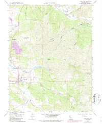
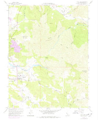
1958 Map of Lower Lake
USGS Topo · Published 1987About this map
Lower Lake serves as the primary hub of activity on this Lake County landscape, situated where Seigler Canyon Creek and Copsey Creek meet in the Excelsior Valley. The map documents a period of development reflected in the expansion of the town and the presence of the Union High Sch, a local Cem, and the nearby Pearce Airport. Outside the settlement, the terrain transitions into the steep slopes of Quackenbush Mountain and Bally Peak.
Find a feature on this map
60 named features on this map. Tap any name to fly to it.
Don’t see what you’re looking for? This feature index may not catch every label — zoom into the map to look around manually.
Map Details
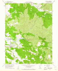
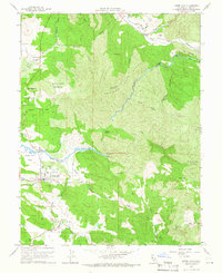
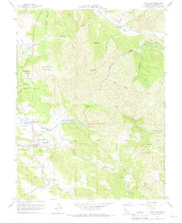
Editions of this 1958 Lower Lake Map
5 editions found
Other maps of this area

1920 · Venado
USGS Topo · 1:62,500

1924 · Bartlett Springs
USGS Topo · 1:62,500

1942 · Bartlett Springs
USGS Topo · 1:62,500

1943 · Morgan Valley
USGS Topo · 1:62,500

1944 · Bartlett Springs
USGS Topo · 1:62,500

1944 · Wilbur Springs
USGS Topo · 1:62,500

1944 · Morgan Valley
USGS Topo · 1:62,500

1945 · Lower Lake
USGS Topo · 1:62,500

1947 · Santa Rosa
USGS Topo · 1:250,000

1949 · Santa Rosa
USGS Topo · 1:250,000