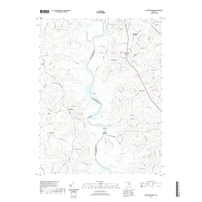
2019 Map of Lower Marlboro
USGS Topo · Published 2019About this map
Lower Marlboro and the surrounding riverfront of the Patuxent River define this region along the boundary of Prince George's and Calvert Counties. This survey illustrates a landscape where colonial-era landings and mid-century suburban developments like Lakewood Estates coexist. The area is marked by numerous tidal creeks, including Mataponi Creek and Cocktown Creek, which carve into the terrace terrain.
Find a feature on this map
145 named features on this map. Tap any name to fly to it.
Don’t see what you’re looking for? This feature index may not catch every label — zoom into the map to look around manually.
Map Details
Editions of this 2019 Lower Marlboro Map
This is the sole edition of this map. No revisions or reprints were ever made.
Other maps of this area

1892 · Prince Frederick
USGS Topo · 1:62,500

1892 · Brandywine
USGS Topo · 1:62,500

1892 · Owensville
USGS Topo · 1:62,500

1895 · Prince Frederick
USGS Topo · 1:62,500

1895 · Brandywine
USGS Topo · 1:62,500

1895 · Owensville
USGS Topo · 1:62,500

1899 · Patuxent
USGS Topo · 1:125,000

1900 · Washington
USGS Topo · 1:62,500
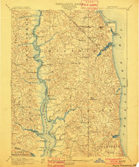
1901 · Prince Frederick
USGS Topo · 1:62,500
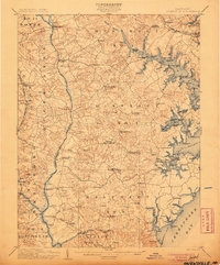
1905 · Owensville
USGS Topo · 1:62,500