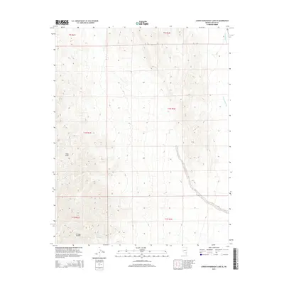
2015 Map of Lower Pahranagat Lake SE
USGS Topo · Published 2015About this map
The Sheep Range dominates the western half of this Lincoln County survey, providing a sharp elevation contrast to the low-lying drainage patterns to the east. Water sources are scarce in this arid landscape, evidenced by the presence of Elderberry Spring near the southern boundary. This specific topography funnels seasonal runoff toward the Pahranagat Wash, a significant alluvial feature that cuts through the eastern sections of T9S R62E and T10S R62E. The map detail reflects the vast, undeveloped nature of this desert basin, defined primarily by its public land survey grids and natural water systems rather than modern infrastructure.
Find a feature on this map
9 named features on this map. Tap any name to fly to it.
Don’t see what you’re looking for? This feature index may not catch every label — zoom into the map to look around manually.
Map Details
Editions of this 2015 Lower Pahranagat Lake SE Map
This is the sole edition of this map. No revisions or reprints were ever made.
Other maps of this area

1885 · Pioche
USGS Topo · 1:250,000

1886 · Saint Thomas
USGS Topo · 1:250,000

1886 · Pioche
USGS Topo · 1:250,000

1893 · Saint Thomas
USGS Topo · 1:250,000

1907 · Las Vegas
USGS Topo · 1:250,000

1908 · Las Vegas
USGS Topo · 1:250,000

1945 · Sheep Range
USGS Topo · 1:125,000

1945 · Alamo
USGS Topo · 1:125,000

1954 · Caliente
USGS Topo · 1:250,000

1954 · Las Vegas
USGS Topo · 1:250,000