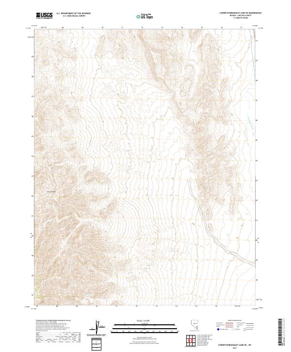
2021 Map of Lower Pahranagat Lake SE
USGS Topo · Published 2021About this map
The Sheep Range dominates the western landscape of this Lincoln County quadrangle, where high ridges transition into the alluvial fans of the desert floor. This area is defined by its topographic extremes and the vital presence of water in an arid environment, exemplified by the remote Elderberry Spring located in the southern sections. The map reveals the intricate drainage patterns that feed into the Pahranagat Wash, which carves a path through the eastern valley. These natural features dictated the early movement of people and livestock through the region, as the availability of water at isolated springs was the primary constraint on travel and survival. The land is organized by the Public Land Survey System, with grid lines for T9S R61E and T10S R62E providing a structured overlay to the natural relief of the mountains and basins.
Find a feature on this map
9 named features on this map. Tap any name to fly to it.
Don’t see what you’re looking for? This feature index may not catch every label — zoom into the map to look around manually.
Map Details
Editions of this 2021 Lower Pahranagat Lake SE Map
This is the sole edition of this map. No revisions or reprints were ever made.
Other maps of this area

1885 · Pioche
USGS Topo · 1:250,000

1886 · Saint Thomas
USGS Topo · 1:250,000

1886 · Pioche
USGS Topo · 1:250,000

1893 · Saint Thomas
USGS Topo · 1:250,000

1907 · Las Vegas
USGS Topo · 1:250,000

1908 · Las Vegas
USGS Topo · 1:250,000

1945 · Sheep Range
USGS Topo · 1:125,000

1945 · Alamo
USGS Topo · 1:125,000

1954 · Caliente
USGS Topo · 1:250,000

1954 · Las Vegas
USGS Topo · 1:250,000