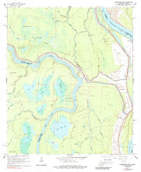
1965 Map of Lower Sunk Lake
USGS Topo · Published 1989About this map
The Mississippi River and Red River dominate this Louisiana-Mississippi borderland, where shifting waters have carved out a labyrinth of oxbows and backwaters. The landscape is defined by the massive Dismal Swamp and the eponymous Lower Sunk Lake, with high levee systems shielding small riverfront settlements. Human presence in the mid-1960s is concentrated in small pockets like Union Point, Black Hawk, and Shaw, while the local economy is evidenced by the Union Point Oil Field and the Red River Bay Oil Field.
Find a feature on this map
52 named features on this map. Tap any name to fly to it.
Don’t see what you’re looking for? This feature index may not catch every label — zoom into the map to look around manually.
Map Details
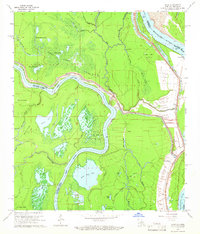
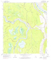
Editions of this 1965 Lower Sunk Lake Map
3 editions found
Other maps of this area

1935 · Tooleys
USGS Topo · 1:62,500

1939 · Artonish
USGS Topo · 1:62,500

1939 · Deer Park
USGS Topo · 1:62,500

1941 · Voorhies
USGS Topo · 1:62,500

1941 · Tooleys
USGS Topo · 1:62,500

1953 · Natchez
USGS Topo · 1:250,000

1954 · Artonish
USGS Topo · 1:62,500

1955 · Artonish
USGS Topo · 1:62,500

1956 · Natchez
USGS Topo · 1:250,000

1958 · Artonish
USGS Topo · 1:62,500