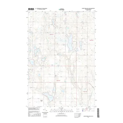
2015 Map of Lower Vermillion Lake
USGS Topo · Published 2015About this map
The Yellow River and Vermillion River systems define this Barron County landscape, where glacial activity has left a dense network of water bodies. The transition from Upper Vermillion Lake to Lower Vermillion Lake dominates the southern half of the quadrangle, which also features the Cumberland Municipal Airport and the nearby East Cumberland Cem. The terrain is characterized by a grid of local roads and county highways that navigate around significant lakes such as Silver Lake, Big Dummy Lake, and the connected Chain Lakes.
Find a feature on this map
79 named features on this map. Tap any name to fly to it.
Don’t see what you’re looking for? This feature index may not catch every label — zoom into the map to look around manually.
Map Details
Editions of this 2015 Lower Vermillion Lake Map
This is the sole edition of this map. No revisions or reprints were ever made.
Other maps of this area

1950 · Turtle Lake
USGS Topo · 1:62,500

1951 · Cumberland
USGS Topo · 1:48,000

1951 · Shell Lake
USGS Topo · 1:48,000

1951 · Barron
USGS Topo · 1:62,500

1952 · Turtle Lake
USGS Topo · 1:62,500

1953 · Rice Lake
USGS Topo · 1:250,000

1953 · Stillwater
USGS Topo · 1:250,000

1955 · Stillwater
USGS Topo · 1:250,000

1956 · Cumberland
USGS Topo · 1:62,500

1958 · Stillwater
USGS Topo · 1:250,000