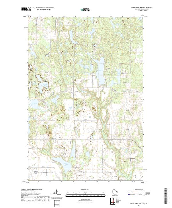
2022 Map of Lower Vermillion Lake
USGS Topo · Published 2022About this map
Yellow River and Hickey Cr flow through this glaciated pocket of Barron County, shaping a landscape defined by an exceptional density of kettle lakes and wetlands. The waterway network is punctuated by prominent bodies such as Silver Lake and Lower Vermillion Lake, while smaller features like Lake Thirty and Pea Viner Lake reflect the intricate local topography. A grid of rural avenues, including 25th Ave and Co Hwy B, provides access to the scattered homesteads and recreational sites that characterize the area.
Find a feature on this map
62 named features on this map. Tap any name to fly to it.
Don’t see what you’re looking for? This feature index may not catch every label — zoom into the map to look around manually.
Map Details
Editions of this 2022 Lower Vermillion Lake Map
This is the sole edition of this map. No revisions or reprints were ever made.
Other maps of this area

1950 · Turtle Lake
USGS Topo · 1:62,500

1951 · Cumberland
USGS Topo · 1:48,000

1951 · Shell Lake
USGS Topo · 1:48,000

1951 · Barron
USGS Topo · 1:62,500

1952 · Turtle Lake
USGS Topo · 1:62,500

1953 · Rice Lake
USGS Topo · 1:250,000

1953 · Stillwater
USGS Topo · 1:250,000

1955 · Stillwater
USGS Topo · 1:250,000

1956 · Cumberland
USGS Topo · 1:62,500

1958 · Stillwater
USGS Topo · 1:250,000