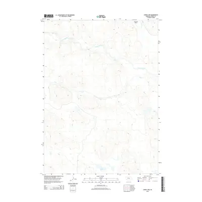
2014 Map of Lowes Lake
USGS Topo · Published 2014About this map
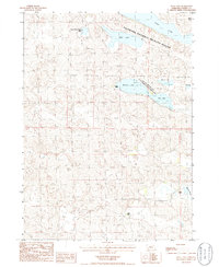
North Loup River meanders across this portion of the Nebraska Sandhills, defining a landscape of complex drainage patterns and scattered water bodies. The terrain is characterized by the winding course of the river as it flows through the northern reaches of the map, while Big Cr and Wamaduze Cr provide further hydrological detail to the region. In the northeastern corner, the Wamaduze Valley offers a distinct geographic feature where the creek descends through the undulating elevations of Cherry County. To the south, Lowes Lake sits as a primary landmark, illustrating the numerous isolated lakes and ponds typical of this part of the state. This 2014 survey reflects the modern topographical state of this rural area, emphasizing natural water features and the specialized relief of the surrounding sand dunes rather than dense human settlement.
Find a feature on this map
5 named features on this map. Tap any name to fly to it.
Don’t see what you’re looking for? This feature index may not catch every label — zoom into the map to look around manually.
Map Details
Editions of this 2014 Lowes Lake Map
This is the sole edition of this map. No revisions or reprints were ever made.
Other maps of this area
1948 · Seneca
USGS Topo · 1:62,500
1948 · Seneca 4
USGS Topo · 1:62,500
1949 · Seneca 4
USGS Topo · 1:62,500
1951 · Seneca
USGS Topo · 1:62,500
1951 · Bull Lake
USGS Topo · 1:62,500
1951 · Brownlee
USGS Topo · 1:62,500

1957 · Valentine
USGS Topo · 1:250,000

1959 · Valentine
USGS Topo · 1:250,000
1985 · Goose Creek
USGS Topo · 1:100,000
1985 · Mule Lake
USGS Topo · 1:24,000