Loading...
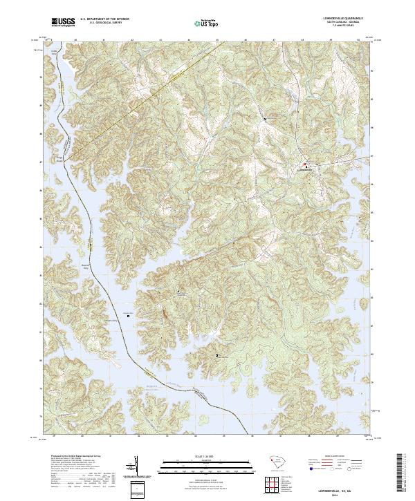
Loading map...2024 Map of Lowndesville
USGS Topo · Published 2024About this map
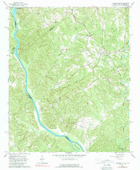
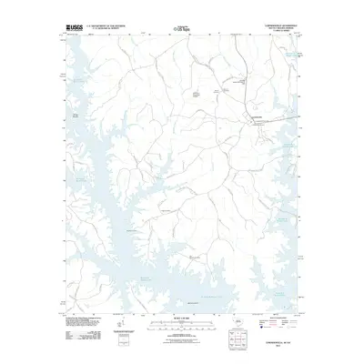
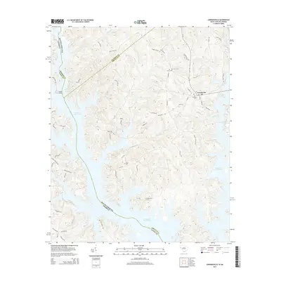
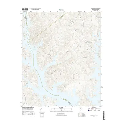
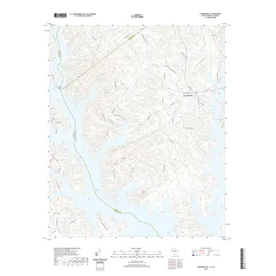
Lowndesville serves as the primary settlement on this landscape where the Savannah River basin meets the border of Georgia. The terrain is defined by the expansive Richard B Russell Lake, which has significantly altered the historic riverfront where Crafts Ferry, Bowman Ferry, and Harpers Ferry once operated. These ferry crossings, along with Gregg Shoals, point to a long history of river-based transport and navigation before the modern reservoir era.
Find a feature on this map
74 named features on this map. Tap any name to fly to it.
Don’t see what you’re looking for? This feature index may not catch every label — zoom into the map to look around manually.
Map Details
Date Portrayed2024
Date Published2024
PublisherU.S. Geological Survey
Map TypeTopographic
Scale1:24,000
Physical Dimensions24 x 29 inches
Editions of this 2024 Lowndesville Map
This is the sole edition of this map. No revisions or reprints were ever made.
Historical Maps of Lowndesville Through Time
6 maps found
Featured Locations
Source Details
SourceU.S. Geological Survey
CopyrightPublic Domain