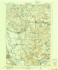
1913 Map of Lowville
USGS Topo · Published 1939About this map
Industrial activity along the Beaver River anchors this pre-World War I survey of Lewis County, where the Lowville and Beaver River railroad connects the regional hub of Lowville to timber and milling centers. The landscape is defined by the sharp transition from the Black River valley up into the densely watered Adirondack foothills. Water power is central to the local economy, evidenced by the Power Plant at Elmer Falls and the significant Petries Mill located east of Petries Corners.
Find a feature on this map
78 named features on this map. Tap any name to fly to it.
Don’t see what you’re looking for? This feature index may not catch every label — zoom into the map to look around manually.
Map Details
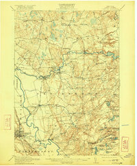
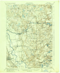
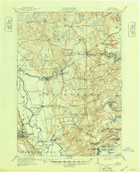
Editions of this 1913 Lowville Map
5 editions found
Other maps of this area

1902 · Carthage
USGS Topo · 1:62,500

1904 · Carthage
USGS Topo · 1:62,500

1905 · Port Leyden
USGS Topo · 1:62,500

1906 · Highmarket
USGS Topo · 1:62,500

1907 · Port Leyden
USGS Topo · 1:62,500

1911 · Antwerp
USGS Topo · 1:62,500

1911 · Lowville
USGS Topo · 1:62,500

1912 · Number Four
USGS Topo · 1:62,500

1912 · Mc Keever
USGS Topo · 1:62,500

1913 · Lowville
USGS Topo · 1:62,500