
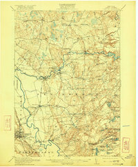
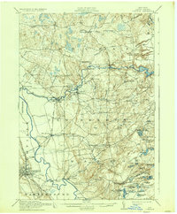
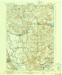
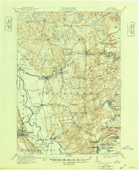
1913 Map of Lowville
USGS Topo · Published 1913About this map
The village of Lowville serves as the focal point for this Lewis County landscape, where the Lowville and Utica Line railroad traces the valley floor. The geography is defined by a dense network of watercourses, most notably the Beaver River and its numerous tributaries like Widmeyer Creek and Balsam Creek. The distribution of rural education is evident through a remarkable concentration of one-room schoolhouses, including the Texas Road School, Wisner School, and Henry School, illustrating the late-19th and early-20th-century settlement patterns of the North Country. North of the village, industrial activity is marked by a Power Plant at Elmer Falls and Petries Mill near the edge of the Adirondack foothills. The map reveals the early development of timber and water resources, with numerous reservoirs and ponds such as Croghan Reservoir and Beach Millpond supporting local industry and the developing electrical grid.
Find a feature on this map
80 named features on this map. Tap any name to fly to it.
Don’t see what you’re looking for? This feature index may not catch every label — zoom into the map to look around manually.
Map Details
Editions of this 1913 Lowville Map
5 editions found
Other maps of this area

1902 · Carthage
USGS Topo · 1:62,500

1904 · Carthage
USGS Topo · 1:62,500

1905 · Port Leyden
USGS Topo · 1:62,500

1906 · Highmarket
USGS Topo · 1:62,500

1907 · Port Leyden
USGS Topo · 1:62,500

1911 · Antwerp
USGS Topo · 1:62,500

1911 · Lowville
USGS Topo · 1:62,500

1912 · Number Four
USGS Topo · 1:62,500

1912 · Mc Keever
USGS Topo · 1:62,500

1913 · Lake Bonaparte
USGS Topo · 1:62,500