
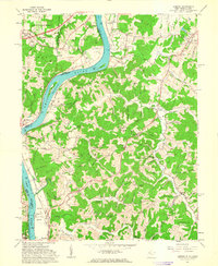
1961 Map of Lubeck
USGS Topo · Published 1989About this map
The Ohio River flows through this 1961 landscape, defining the border between Ohio and West Virginia. This section of the river valley is characterized by significant riparian features like Washington Bottom and the mid-river islands of Mustapha Island and Newberry I. On the West Virginia side, the town of Lubeck sits atop Hickman Ridge, while the hills of Harris and Steele districts are densely packed with small family cemeteries and remote hollows.
Find a feature on this map
104 named features on this map. Tap any name to fly to it.
Don’t see what you’re looking for? This feature index may not catch every label — zoom into the map to look around manually.
Map Details
Editions of this 1961 Lubeck Map
4 editions found
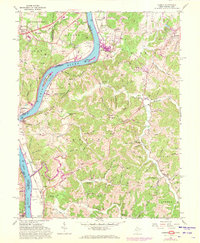
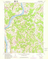
Other maps of this area

1902 · Parkersburg
USGS Topo · 1:62,500

1904 · Parkersburg
USGS Topo · 1:62,500

1904 · Chesterhill
USGS Topo · 1:62,500

1906 · Belleville
USGS Topo · 1:62,500

1906 · Chesterhill
USGS Topo · 1:62,500

1907 · Keno
USGS Topo · 1:62,500

1924 · Belleville
USGS Topo · 1:62,500

1926 · Belleville
USGS Topo · 1:62,500

1949 · Clarksburg
USGS Topo · 1:250,000

1956 · Clarksburg
USGS Topo · 1:250,000