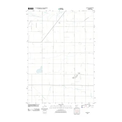
2010 Map of Lucan
USGS Topo · Published 2010About this map
The town of Lucan serves as the central hub of this Redwood County landscape, where the agricultural grid is defined by a dense network of numbered roads and county highways. The settlement itself is anchored by the Lucan Post Office and two local burial grounds, Trinity Lutheran Cemetery and Our Lady of Victory Cemetery, which stand adjacent to one another along the eastern edge of the village. This proximity highlights the communal and spiritual organization of the small township during the early 21st century.
Find a feature on this map
32 named features on this map. Tap any name to fly to it.
Don’t see what you’re looking for? This feature index may not catch every label — zoom into the map to look around manually.
Map Details
Editions of this 2010 Lucan Map
This is the sole edition of this map. No revisions or reprints were ever made.
Other maps of this area

1953 · New Ulm
USGS Topo · 1:250,000

1957 · New Ulm
USGS Topo · 1:250,000

1958 · New Ulm
USGS Topo · 1:250,000

1962 · School Grove Lake
USGS Topo · 1:24,000

1962 · Milroy SE
USGS Topo · 1:24,000

1962 · Milroy
USGS Topo · 1:24,000

1965 · Echo
USGS Topo · 1:24,000

1965 · Belview
USGS Topo · 1:24,000

1967 · New Ulm
USGS Topo · 1:250,000

1967 · Wabasso SE
USGS Topo · 1:24,000