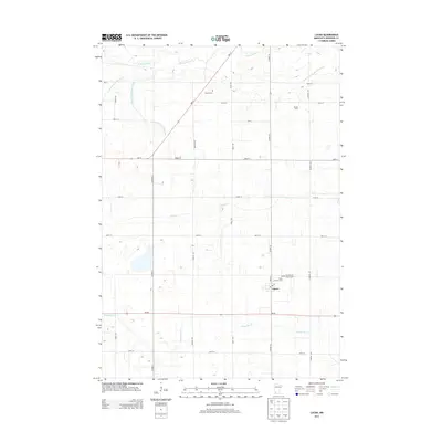
2013 Map of Lucan
USGS Topo · Published 2013About this map
Lucan serves as the primary settlement center in this part of Redwood County, situated at the intersection of Main St and Co Hwy-10. The landscape is defined by its agricultural character and a sophisticated drainage network, with the Redwood River crossing the northern section and several numbered channels such as County Ditch Number Sixty and County Ditch Number Eighty managing the flat prairie terrain. For genealogists and local historians, the sheet preserves the locations of vital community sites, including Hustad Cem in the north and the clustered religious landmarks of Trinity Lutheran Cem and Our Lady of Victory Cem near the town center. The rural sections are dotted with established homesteads like the Kramer Farm, while Sleepy Eye Cr and Clear Cr meander through the southern townships.
Find a feature on this map
34 named features on this map. Tap any name to fly to it.
Don’t see what you’re looking for? This feature index may not catch every label — zoom into the map to look around manually.
Map Details
Editions of this 2013 Lucan Map
This is the sole edition of this map. No revisions or reprints were ever made.
Other maps of this area

1953 · New Ulm
USGS Topo · 1:250,000

1957 · New Ulm
USGS Topo · 1:250,000

1958 · New Ulm
USGS Topo · 1:250,000

1962 · School Grove Lake
USGS Topo · 1:24,000

1962 · Milroy SE
USGS Topo · 1:24,000

1962 · Milroy
USGS Topo · 1:24,000

1965 · Echo
USGS Topo · 1:24,000

1965 · Belview
USGS Topo · 1:24,000

1967 · New Ulm
USGS Topo · 1:250,000

1967 · Wabasso SE
USGS Topo · 1:24,000