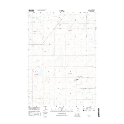
2016 Map of Lucan
USGS Topo · Published 2016About this map
Lucan serves as the primary hub for this rural agricultural landscape in Redwood County, which is defined by a precision network of drainage and local waterways. The southern reaches of the township are marked by the winding course of Sleepy Eye Cr, while the Redwood River cuts through the northern section. This landscape illustrates a highly organized rural infrastructure, where engineered channels like County Ditch Number Sixty and County Ditch Number Thirtythree work in tandem with natural flows like Clear Cr to support the surrounding farmland. Family and community history is preserved in localized sites such as the Hustad Cem and the adjacent Trinity Lutheran Cem and Our Lady of Victory Cem located just east of the main settlement.
Find a feature on this map
37 named features on this map. Tap any name to fly to it.
Don’t see what you’re looking for? This feature index may not catch every label — zoom into the map to look around manually.
Map Details
Editions of this 2016 Lucan Map
This is the sole edition of this map. No revisions or reprints were ever made.
Other maps of this area

1953 · New Ulm
USGS Topo · 1:250,000

1957 · New Ulm
USGS Topo · 1:250,000

1958 · New Ulm
USGS Topo · 1:250,000

1962 · School Grove Lake
USGS Topo · 1:24,000

1962 · Milroy SE
USGS Topo · 1:24,000

1962 · Milroy
USGS Topo · 1:24,000

1965 · Echo
USGS Topo · 1:24,000

1965 · Belview
USGS Topo · 1:24,000

1967 · New Ulm
USGS Topo · 1:250,000

1967 · Wabasso SE
USGS Topo · 1:24,000