
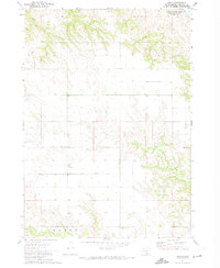
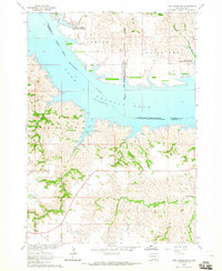
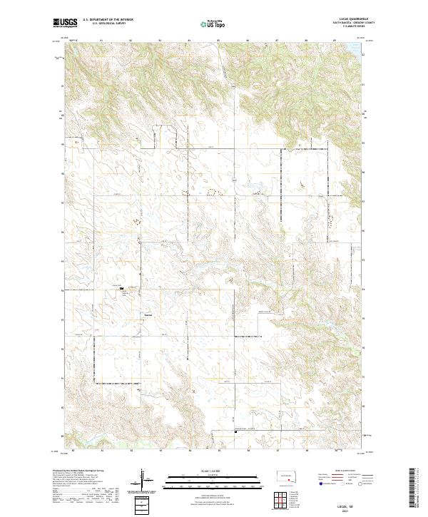
1971 Map of Lucas
USGS Topo · Published 1983About this map
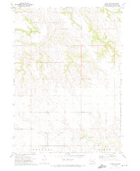
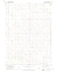
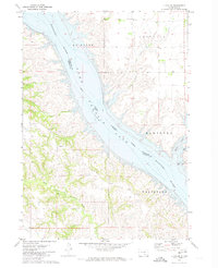
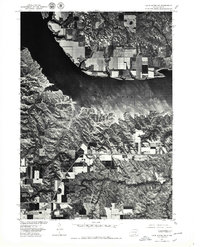
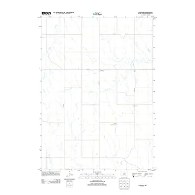
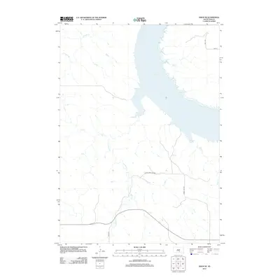
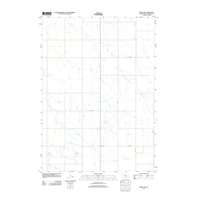
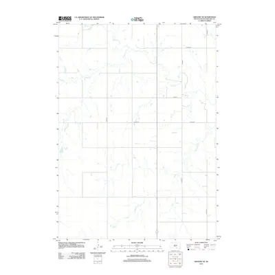
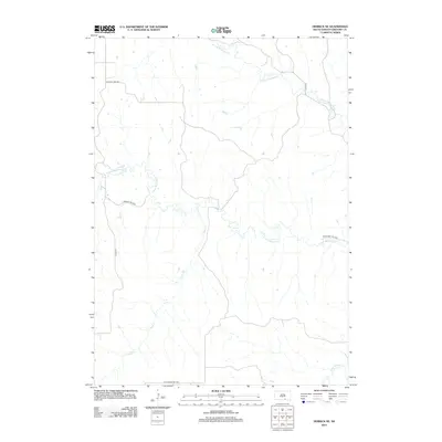
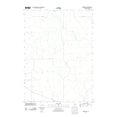
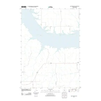
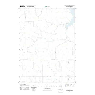
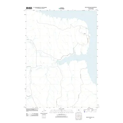
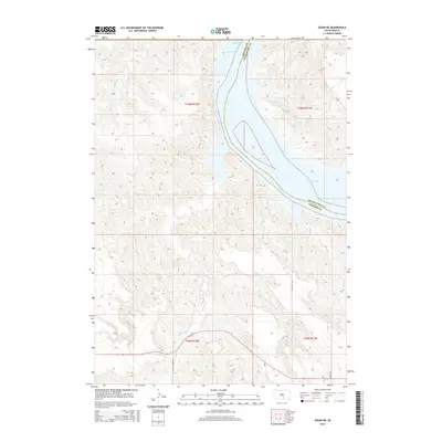
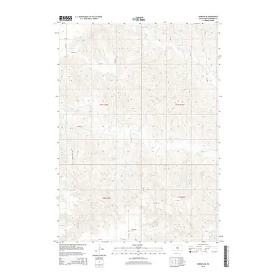
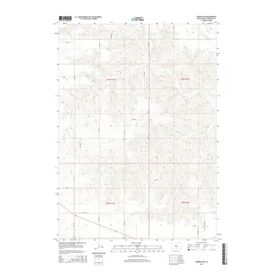
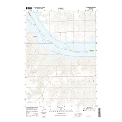
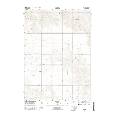
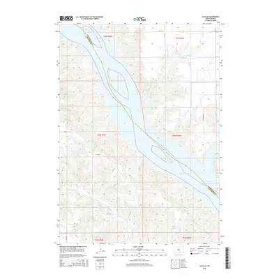
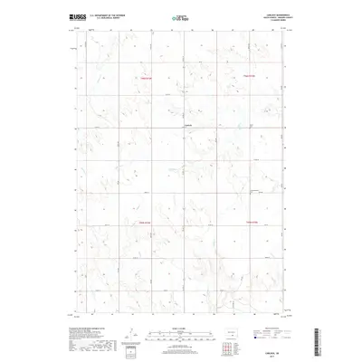
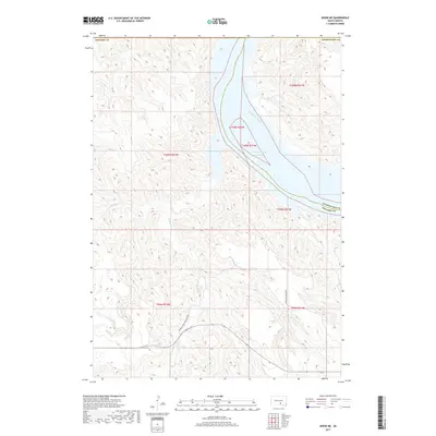
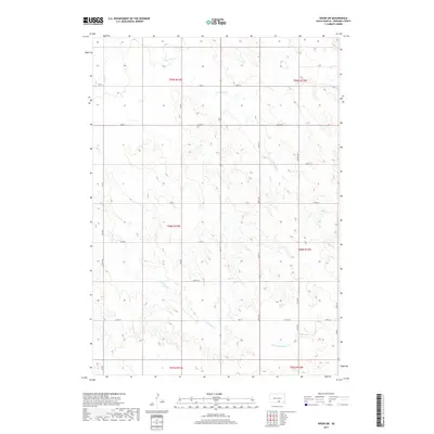
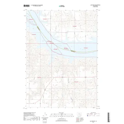
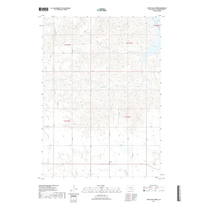
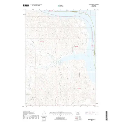
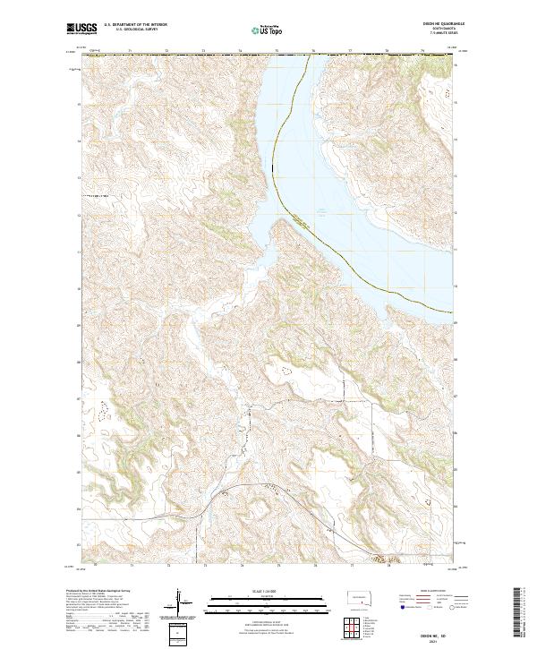
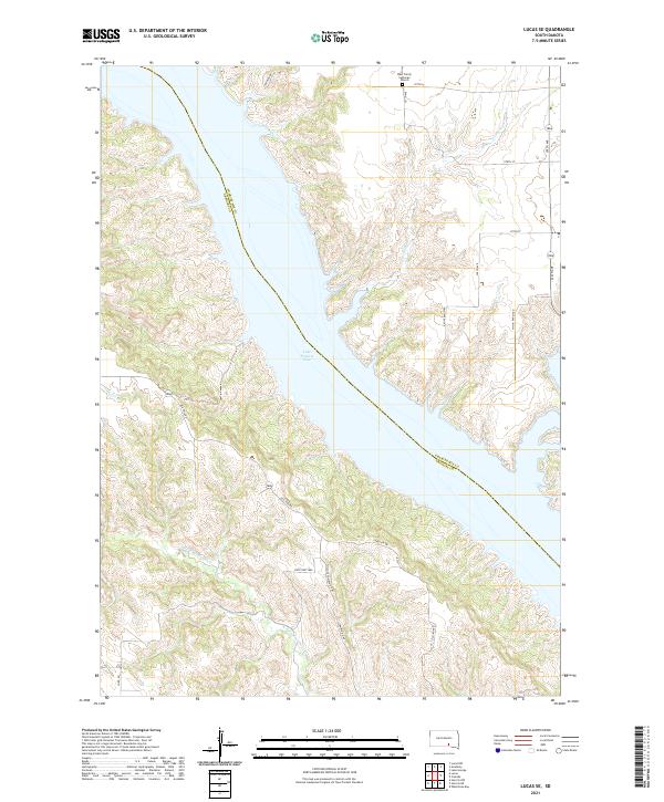
Lucas sits atop the high plains of Gregory County, a small settlement defined by its rural crossroads and local ties in the early 1970s. The landscape is deeply dissected by the dendritic drainage patterns of North Fork Whetstone Creek and South Fork Whetstone Creek, which carve through the prairie toward the Missouri River valley. To the northeast, the impounded waters of Lake Francis Case (Missouri River) dominate the horizon, with underwater contours reflecting the valley's profile before the reservoir's creation. For those researching local families, the map identifies specific burial sites including Lucas Cem and the more remote Petersen Cem. This survey, based on 1970 photography, captures the area during a period of established agricultural use within the Rosebud Indian Reservation boundaries, showing a network of section-line roads that link isolated farmsteads across the undulating terrain.
Find a feature on this map
10 named features on this map. Tap any name to fly to it.
Don’t see what you’re looking for? This feature index may not catch every label — zoom into the map to look around manually.
Map Details
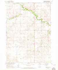
Editions of this 1971 Lucas Map
2 editions found
Historical Maps of Milk's Camp Segment Through Time
70 maps found

1964 Carlock
Gregory County, SD
1964 Gregory SE
Gregory County, SD
1964 Herrick NE
Gregory County, SD
1964 Herrick NW
Gregory County, SD
1964 Lake Andes SW
Gregory County, SD
1964 South Scalp Creek
Gregory County, SD
1964 Whetstone Bay
Gregory County, SD
1971 Dixon
Gregory County, SD

1971 Dixon NE
Gregory County, SD
1971 Dixon SE
Gregory County, SD
1971 Dixon SW
Gregory County, SD
1971 Lucas
Gregory County, SD
1971 Lucas SE
Gregory County, SD
1977 Lake Andes SW
Gregory County, SD
2012 Carlock
Gregory County, SD
2012 Dixon
Gregory County, SD
2012 Dixon NE
Gregory County, SD
2012 Dixon SE
Gregory County, SD
2012 Dixon SW
Gregory County, SD
2012 Gregory SE
Gregory County, SD
2012 Herrick NE
Gregory County, SD
2012 Herrick NW
Gregory County, SD
2012 Lake Andes SW
Gregory County, SD
2012 Lucas
Gregory County, SD
2012 Lucas SE
Gregory County, SD
2012 Saint Charles
Gregory County, SD
2012 South Scalp Creek
Gregory County, SD
2012 Whetstone Bay
Gregory County, SD
2015 Carlock
Gregory County, SD
2015 Dixon
Gregory County, SD
2015 Dixon NE
Gregory County, SD
2015 Dixon SE
Gregory County, SD
2015 Dixon SW
Gregory County, SD
2015 Gregory SE
Gregory County, SD
2015 Herrick NE
Gregory County, SD
2015 Herrick NW
Gregory County, SD
2015 Lake Andes SW
Gregory County, SD
2015 Lucas
Gregory County, SD
2015 Lucas SE
Gregory County, SD
2015 Saint Charles
Gregory County, SD
2015 South Scalp Creek
Gregory County, SD
2015 Whetstone Bay
Gregory County, SD
2017 Carlock
Gregory County, SD
2017 Dixon
Gregory County, SD
2017 Dixon NE
Gregory County, SD
2017 Dixon SE
Gregory County, SD
2017 Dixon SW
Gregory County, SD
2017 Gregory SE
Gregory County, SD
2017 Herrick NE
Gregory County, SD
2017 Herrick NW
Gregory County, SD
2017 Lake Andes SW
Gregory County, SD
2017 Lucas
Gregory County, SD
2017 Lucas SE
Gregory County, SD
2017 Saint Charles
Gregory County, SD
2017 South Scalp Creek
Gregory County, SD
2017 Whetstone Bay
Gregory County, SD
2021 Carlock
Gregory County, SD
2021 Dixon
Gregory County, SD
2021 Dixon NE
Gregory County, SD
2021 Dixon SE
Gregory County, SD
2021 Dixon SW
Gregory County, SD
2021 Gregory SE
Gregory County, SD
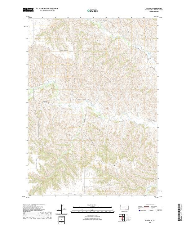
2021 Herrick NE
Gregory County, SD
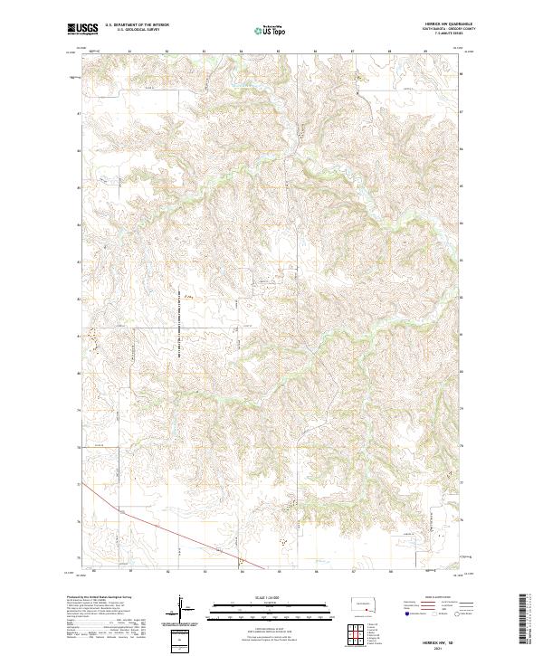
2021 Herrick NW
Gregory County, SD
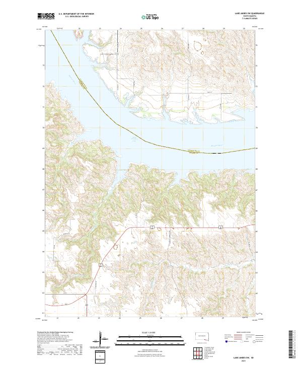
2021 Lake Andes SW
Gregory County, SD
2021 Lucas
Gregory County, SD
2021 Lucas SE
Gregory County, SD
2021 Saint Charles
Gregory County, SD
2021 South Scalp Creek
Gregory County, SD
2021 Whetstone Bay
Gregory County, SD