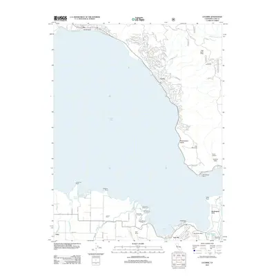
2012 Map of Lucerne
USGS Topo · Published 2012About this map
Clear Lake dominates this Lake County landscape, its expansive waters framed by a shoreline of established lakeside communities and specialized terrain. The northeast shore is densely developed with the winding streets of Lucerne, while the northern edge includes Nice and Laurel Beach. Along the southern waterfront, the land transitions into recreational and agricultural use, notably within Clear Lake State Park, which houses several campsites such as Lower Bayview Campground and Cole Creek Campground.
Find a feature on this map
86 named features on this map. Tap any name to fly to it.
Don’t see what you’re looking for? This feature index may not catch every label — zoom into the map to look around manually.
Map Details
Editions of this 2012 Lucerne Map
This is the sole edition of this map. No revisions or reprints were ever made.
Other maps of this area

1921 · Kelseyville
USGS Topo · 1:62,500

1924 · Bartlett Springs
USGS Topo · 1:62,500

1938 · Lakeport
USGS Topo · 1:62,500

1942 · Bartlett Springs
USGS Topo · 1:62,500

1943 · Kelseyville
USGS Topo · 1:62,500

1944 · Bartlett Springs
USGS Topo · 1:62,500

1945 · Lower Lake
USGS Topo · 1:62,500

1947 · Santa Rosa
USGS Topo · 1:250,000

1949 · Santa Rosa
USGS Topo · 1:250,000

1951 · Lakeport
USGS Topo · 1:62,500