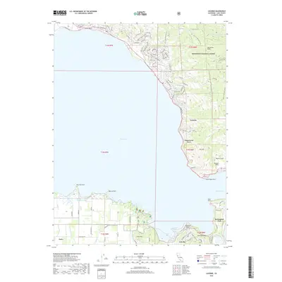
2018 Map of Lucerne
USGS Topo · Published 2018About this map
Clear Lake dominates this 2018 survey, its expansive waters defining the geography of Lake County's shoreline settlements. The map highlights the contrast between the densely developed lakeside residential areas and the rising terrain of the Mendocino National Forest. Along the eastern shore, the communities of Lucerne, Pepperwood Grove, and Paradise Valley follow the narrow corridor between the water and the steep slopes leading up to Pine Mtn.
Find a feature on this map
106 named features on this map. Tap any name to fly to it.
Don’t see what you’re looking for? This feature index may not catch every label — zoom into the map to look around manually.
Map Details
Editions of this 2018 Lucerne Map
This is the sole edition of this map. No revisions or reprints were ever made.
Other maps of this area
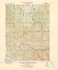
1921 · Kelseyville
USGS Topo · 1:62,500
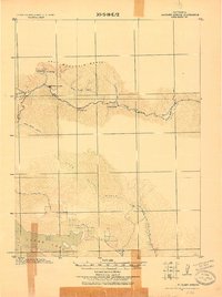
1924 · Bartlett Springs
USGS Topo · 1:62,500
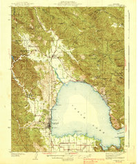
1938 · Lakeport
USGS Topo · 1:62,500
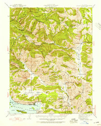
1942 · Bartlett Springs
USGS Topo · 1:62,500
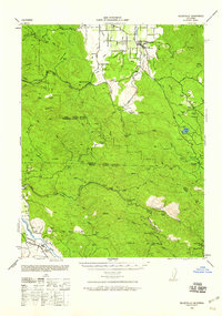
1943 · Kelseyville
USGS Topo · 1:62,500
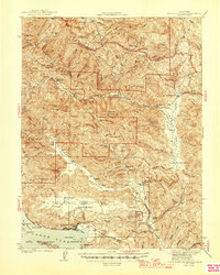
1944 · Bartlett Springs
USGS Topo · 1:62,500
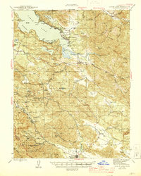
1945 · Lower Lake
USGS Topo · 1:62,500
1947 · Santa Rosa
USGS Topo · 1:250,000
1949 · Santa Rosa
USGS Topo · 1:250,000
1951 · Lakeport
USGS Topo · 1:62,500