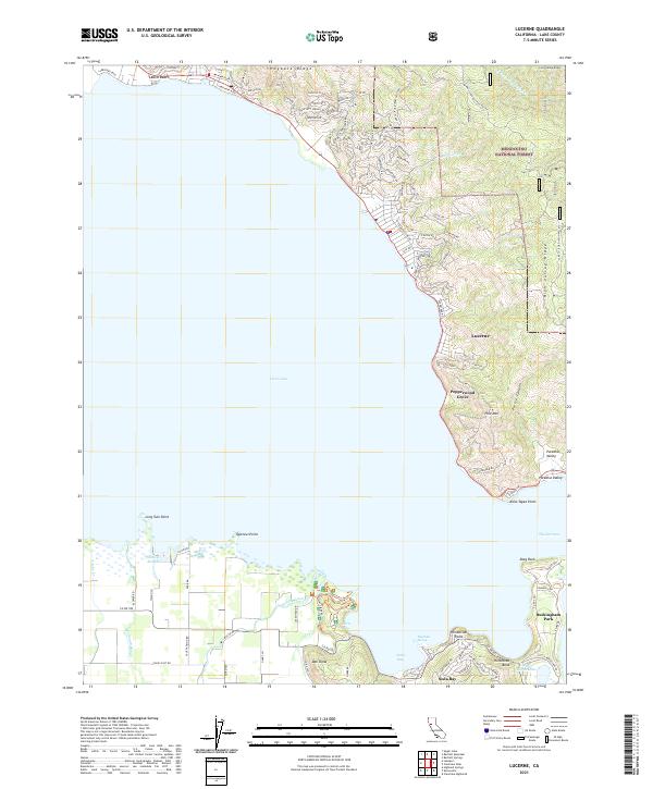
2021 Map of Lucerne
USGS Topo · Published 2021About this map
Clear Lake dominates this portion of Lake County, its expansive shoreline punctuated by residential pockets and recreational landings. Along the northeastern edge, the community of Lucerne sits at the base of the Mendocino National Forest, where steep terrain like Hogback Ridge and High Valley Ridge descends toward the water. The map traces the winding paths of Lakeshore Blvd and various local roads that connect lakeside settlements, including Pepperwood Grove and the residential tracts of Buckingham Park.
Find a feature on this map
134 named features on this map. Tap any name to fly to it.
Don’t see what you’re looking for? This feature index may not catch every label — zoom into the map to look around manually.
Map Details
Editions of this 2021 Lucerne Map
This is the sole edition of this map. No revisions or reprints were ever made.
Other maps of this area

1921 · Kelseyville
USGS Topo · 1:62,500

1924 · Bartlett Springs
USGS Topo · 1:62,500

1938 · Lakeport
USGS Topo · 1:62,500

1942 · Bartlett Springs
USGS Topo · 1:62,500

1943 · Kelseyville
USGS Topo · 1:62,500

1944 · Bartlett Springs
USGS Topo · 1:62,500

1945 · Lower Lake
USGS Topo · 1:62,500

1947 · Santa Rosa
USGS Topo · 1:250,000

1949 · Santa Rosa
USGS Topo · 1:250,000

1951 · Lakeport
USGS Topo · 1:62,500