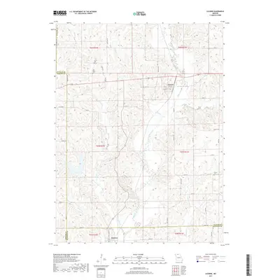
2017 Map of Lucerne
USGS Topo · Published 2017About this map
Newtown and Lucerne anchor this northern Missouri landscape, situated where the borders of Mercer, Putnam, and Sullivan counties converge. The terrain is defined by a dense network of timbered drainages and creek beds, including the prominent Medicine Cr and its tributaries like Long Br and Elm Br. This modern survey illustrates the persistent rural character of the region, where gravel roads and state highways follow the high ridges between winding waterways such as Barber Cr and W Locust Cr. For those tracing local family history, several burial grounds are documented across the townships, including Busby Cem, Old Busby Cem, and Howard Cem. The mapping of these small cemeteries alongside the dispersed farmstead infrastructure offers a clear view of the area's contemporary agricultural settlement pattern and long-standing community boundaries.
Find a feature on this map
50 named features on this map. Tap any name to fly to it.
Don’t see what you’re looking for? This feature index may not catch every label — zoom into the map to look around manually.
Map Details
Editions of this 2017 Lucerne Map
This is the sole edition of this map. No revisions or reprints were ever made.
Other maps of this area
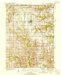
1942 · Seymour
USGS Topo · 1:62,500
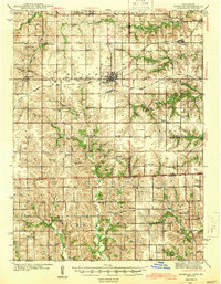
1944 · Seymour
USGS Topo · 1:62,500

1954 · Centerville
USGS Topo · 1:250,000
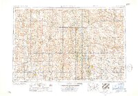
1957 · Centerville
USGS Topo · 1:250,000
1958 · Centerville
USGS Topo · 1:250,000
1964 · Pollock NW
USGS Topo · 1:24,000
1964 · Ravanna
USGS Topo · 1:24,000
1964 · Harris
USGS Topo · 1:24,000
1964 · Half Rock
USGS Topo · 1:24,000
1964 · Pollock SW
USGS Topo · 1:24,000