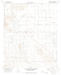
1971 Map of Lucerne Valley
USGS Topo · Published 1975About this map
Lucerne Lake dominates the northern High Desert landscape of this 1971 survey, appearing as a dry lakebed adjacent to the growing settlement of Lucerne Valley. The map reveals a transition from the stark topography of the Granite Mts and Strawberry Peak in the west to a structured grid of residential and agricultural parcels. Local landmarks such as Pioneer Park and the Fire Control Station provide focal points for the community, while isolated features like a lone Grave near Rabbit Springs and various Prospects offer clues for genealogists and desert historians.
Find a feature on this map
67 named features on this map. Tap any name to fly to it.
Don’t see what you’re looking for? This feature index may not catch every label — zoom into the map to look around manually.
Map Details
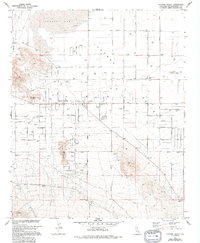
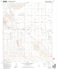
Editions of this 1971 Lucerne Valley Map
3 editions found
Other maps of this area

1901 · Southern California Sheet No. 1
USGS Topo · 1:250,000

1902 · Deep Creek
USGS Topo · 1:62,500

1902 · San Gorgonio
USGS Topo · 1:125,000

1904 · Southern California Sheet No. 1
USGS Topo · 1:250,000

1932 · Barstow
USGS Topo · 1:125,000

1934 · Barstow
USGS Topo · 1:125,000

1947 · Lucerne Valley
USGS Topo · 1:62,500

1949 · Lucerne Valley
USGS Topo · 1:62,500

1953 · San Bernardino
USGS Topo · 1:250,000

1955 · Ord Mountains
USGS Topo · 1:62,500