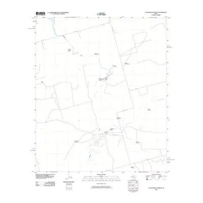
2010 Map of Lucian Wells Ranch
USGS Topo · Published 2010About this map
Lucian Wells Ranch and its neighboring agricultural operations define the landscape of this Howard County ranchland during the early 21st century. The map reveals a sophisticated network of water management essential for West Texas ranching, marked by numerous named pumping stations such as Windmill Number Three, Windmill Number Two, and the uniquely named School Bus Windmill. These structures are strategically placed along ephemeral watercourses like Mustang Draw and Polecat Creek, highlighting the critical relationship between livestock operations and intermittent water sources.
Find a feature on this map
23 named features on this map. Tap any name to fly to it.
Don’t see what you’re looking for? This feature index may not catch every label — zoom into the map to look around manually.
Map Details
Editions of this 2010 Lucian Wells Ranch Map
This is the sole edition of this map. No revisions or reprints were ever made.
Other maps of this area

1941 · Morita
USGS Topo · 1:62,500

1941 · Big Spring South
USGS Topo · 1:62,500

1942 · Big Spring South
USGS Topo · 1:62,500

1949 · Morita
USGS Topo · 1:62,500

1954 · Big Spring
USGS Topo · 1:250,000

1954 · San Angelo
USGS Topo · 1:250,000

1958 · San Angelo
USGS Topo · 1:250,000

1958 · Big Spring
USGS Topo · 1:250,000

1963 · Ballinger Ranch
USGS Topo · 1:24,000

1964 · Dewey Lake NE
USGS Topo · 1:24,000