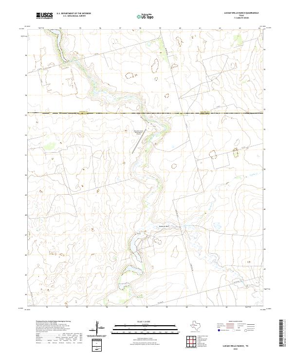
2022 Map of Lucian Wells Ranch
USGS Topo · Published 2022About this map
Mustang Draw winds through the heart of the West Texas ranchlands in this modern survey of the Howard and Glasscock County line. The landscape is defined by the ephemeral drainage systems typical of the Permian Basin, where intermittent waterways like Polecat Creek and Panther Creek converge toward the dramatic curve of Buzzards Bend. While primarily a pastoral landscape, the presence of the Edwards Lucian Wells Ranch Airport and a grid of rural routes including Ranch Rd 461 and Hillger Rd reflect the modern infrastructure supporting large-scale livestock operations and energy exploration. This survey provides a precise look at the drainage patterns and property-access roads that dictate the geography of this high-plains ranching district.
Find a feature on this map
15 named features on this map. Tap any name to fly to it.
Don’t see what you’re looking for? This feature index may not catch every label — zoom into the map to look around manually.
Map Details
Editions of this 2022 Lucian Wells Ranch Map
This is the sole edition of this map. No revisions or reprints were ever made.
Other maps of this area

1941 · Morita
USGS Topo · 1:62,500

1941 · Big Spring South
USGS Topo · 1:62,500

1942 · Big Spring South
USGS Topo · 1:62,500

1949 · Morita
USGS Topo · 1:62,500

1954 · Big Spring
USGS Topo · 1:250,000

1954 · San Angelo
USGS Topo · 1:250,000

1958 · San Angelo
USGS Topo · 1:250,000

1958 · Big Spring
USGS Topo · 1:250,000

1963 · Ballinger Ranch
USGS Topo · 1:24,000

1964 · Dewey Lake NE
USGS Topo · 1:24,000