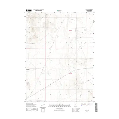
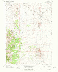
2017 Map of Lucin NW
USGS Topo · Published 2017About this map
Grouse Creek Valley and Tecoma Valley dominate this high-desert landscape in Box Elder County, where the topography is defined by the ephemeral drainage of Grouse Cr. The map reveals a network of remote access routes, such as S Tom Cabin Rd and Winter Cabin Rd, which likely serve ranching or utility needs across the public lands. To the north, the Kilgore Basin sits between steep contour lines, while the southeast corner features a rare water source at Owl Spring. This 2017 study illustrates the sparse human footprint in this part of Utah, highlighting how geographic features and primitive roads like White Clay Rd and Rabbit Springs Loop are the primary landmarks in an area characterized by vast open ranges and rugged basin-and-range geology.
Find a feature on this map
18 named features on this map. Tap any name to fly to it.
Don’t see what you’re looking for? This feature index may not catch every label — zoom into the map to look around manually.
Map Details
Editions of this 2017 Lucin NW Map
This is the sole edition of this map. No revisions or reprints were ever made.
Other maps of this area

1954 · Brigham City
USGS Topo · 1:250,000

1955 · Wells
USGS Topo · 1:250,000

1958 · Wells
USGS Topo · 1:250,000

1958 · Brigham City
USGS Topo · 1:250,000

1961 · Wells
USGS Topo · 1:250,000
1961 · Dairy Valley
USGS Topo · 1:62,500

1962 · Brigham City
USGS Topo · 1:250,000
1967 · Jackson Spring
USGS Topo · 1:24,000
1967 · Pigeon Mountain
USGS Topo · 1:24,000
1967 · Lucin
USGS Topo · 1:24,000