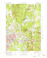
1969 Map of Ludlow
USGS Topo · Published 1978About this map
The Chicopee River carves a path through this late-1960s landscape, serving as a corridor for the Penn Central railroad and a focal point for the industrial and residential growth of Ludlow and North Wilbraham. To the north, the terrain rises into the Facing Hills and Minechoag Mountain, where the Ludlow State Forest and the large Springfield Reservoir dominate the upland. The map documents a period of suburban expansion, evidenced by the intricate street networks in Indian Orchard and the proximity of the Mass Turnpike to established centers. Local history and genealogy are preserved in sites like Ludlow Center Cem and St Elizabeths Ch, while the region’s education infrastructure is noted through facilities such as Veterans Park Sch and Wilbraham Jr High Sch.
Find a feature on this map
58 named features on this map. Tap any name to fly to it.
Don’t see what you’re looking for? This feature index may not catch every label — zoom into the map to look around manually.
Map Details
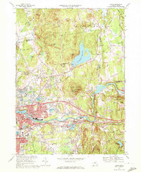
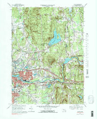
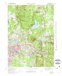
Editions of this 1969 Ludlow Map
4 editions found
Other maps of this area

1885 · Northampton
USGS Topo · 1:62,500

1886 · Springfield
USGS Topo · 1:62,500

1886 · Northampton
USGS Topo · 1:62,500

1887 · Palmer
USGS Topo · 1:62,500

1887 · Belchertown
USGS Topo · 1:62,500

1889 · Springfield
USGS Topo · 1:62,500

1889 · Palmer
USGS Topo · 1:62,500

1890 · Belchertown
USGS Topo · 1:62,500

1891 · Northampton
USGS Topo · 1:62,500

1893 · Northampton
USGS Topo · 1:62,500