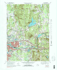
1969 Map of Ludlow
USGS Topo · Published 1983About this map
Ludlow serves as a focal point for this survey, showcasing a transition from industrial riverfronts to the wooded elevations of Ludlow State Forest. The Chicopee River defines the southern boundary of the township, accompanied by the Penn Central and Central Vermont railroads that once powered the local economy. A series of ponds, including Haviland Pond and Murphy Pond, dot the landscape near the center of town, while the massive Springfield Reservoir dominates the northern terrain.
Find a feature on this map
95 named features on this map. Tap any name to fly to it.
Don’t see what you’re looking for? This feature index may not catch every label — zoom into the map to look around manually.
Map Details
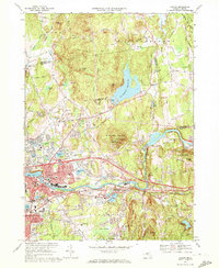
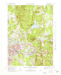
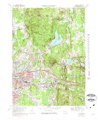
Editions of this 1969 Ludlow Map
4 editions found
Other maps of this area

1885 · Northampton
USGS Topo · 1:62,500

1886 · Springfield
USGS Topo · 1:62,500

1886 · Northampton
USGS Topo · 1:62,500

1887 · Palmer
USGS Topo · 1:62,500

1887 · Belchertown
USGS Topo · 1:62,500

1889 · Springfield
USGS Topo · 1:62,500

1889 · Palmer
USGS Topo · 1:62,500

1890 · Belchertown
USGS Topo · 1:62,500

1891 · Northampton
USGS Topo · 1:62,500

1893 · Northampton
USGS Topo · 1:62,500