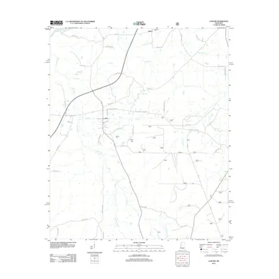
2012 Map of Ludlow
USGS Topo · Published 2012About this map
Coffee Bogue and its many tributaries, including Josh Br and Beach Cr, define the drainage of this Leake County landscape. The settlement of Ludlow serves as a local crossroads, where Hillsboro Ludlow Rd and Mapp Rd converge amidst a network of rural routes. To the north, the community of Bertice sits near the upper reaches of Crookedwood Br, illustrating the dispersed residential pattern characteristic of this era.
Find a feature on this map
51 named features on this map. Tap any name to fly to it.
Don’t see what you’re looking for? This feature index may not catch every label — zoom into the map to look around manually.
Map Details
Editions of this 2012 Ludlow Map
This is the sole edition of this map. No revisions or reprints were ever made.
Other maps of this area

1922 · Morton
USGS Topo · 1:48,000

1922 · Pelahatchee
USGS Topo · 1:48,000

1924 · Pelahatchee
USGS Topo · 1:62,500

1924 · Morton
USGS Topo · 1:62,500

1950 · Pelahatchie
USGS Topo · 1:62,500

1951 · Morton
USGS Topo · 1:62,500

1952 · Pelahatchie
USGS Topo · 1:62,500

1953 · Meridian
USGS Topo · 1:250,000

1957 · Meridian
USGS Topo · 1:250,000

1960 · Sharon
USGS Topo · 1:62,500