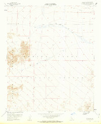
1954 Map of Ludlow SE
USGS Topo · Published 1963About this map
Bullion Mountains dominate this Mojave Desert landscape during the mid-1950s, defining a region where natural terrain meets Cold War military expansion. The map illustrates a significant land-use transition, with large portions of the desert floor and mountain slopes designated as the Marine Corps Training Center. A distinct Naval Reservation Boundary cuts across the northern section, marking the edges of restricted federal land in San Bernardino County. In the northeast corner, a solitary Pipeline traces a straight line across the arid flats of the Bullion Mts, indicating the essential infrastructure required for survival and industry in this remote environment. This 1954 survey captures the character of the California desert before the intensification of modern development, focusing on topographical relief and the formalizing of military training grounds.
Find a feature on this map
7 named features on this map. Tap any name to fly to it.
Don’t see what you’re looking for? This feature index may not catch every label — zoom into the map to look around manually.
Map Details
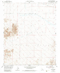
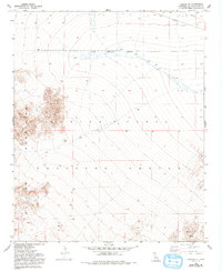
Editions of this 1954 Ludlow SE Map
4 editions found
Other maps of this area

1942 · Amboy
USGS Topo · 1:250,000

1943 · Amboy
USGS Topo · 1:250,000

1953 · San Bernardino
USGS Topo · 1:250,000

1954 · Needles
USGS Topo · 1:250,000

1954 · Bagdad SW
USGS Topo · 1:24,000

1954 · Ludlow SE
USGS Topo · 1:24,000

1955 · Deadman Lake NW
USGS Topo · 1:24,000

1955 · Ludlow
USGS Topo · 1:24,000

1955 · Morgans Well
USGS Topo · 1:24,000

1955 · Lead Mountain
USGS Topo · 1:24,000