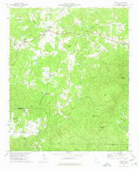
1972 Map of Ludville
USGS Topo · Published 1974About this map
The Salacoa Valley anchors the southwestern corner of this study, where the small community of Salacoa sits near Mineral Spring and Turkeytoter Spring. The landscape is defined by its deep creek bottoms and prominent peaks, including Murphy Top, Sharp Mtn, and Henderson Mtn. Settlements like Ludville and Hinton are linked by local roads that wind through the hills, while the broad flat of Murphy Bottom stretches alongside Scarecorn Creek.
Find a feature on this map
39 named features on this map. Tap any name to fly to it.
Don’t see what you’re looking for? This feature index may not catch every label — zoom into the map to look around manually.
Map Details
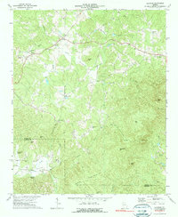
Editions of this 1972 Ludville Map
2 editions found
Other maps of this area

1886 · Dalton
USGS Topo · 1:125,000

1888 · Ellijay
USGS Topo · 1:125,000

1890 · Suwanee
USGS Topo · 1:125,000

1890 · Cartersville
USGS Topo · 1:125,000

1891 · Cartersville
USGS Topo · 1:125,000

1892 · Ellijay
USGS Topo · 1:125,000

1892 · Dalton
USGS Topo · 1:125,000

1894 · Suwanee
USGS Topo · 1:125,000

1896 · Cartersville
USGS Topo · 1:125,000

1897 · Dalton
USGS Topo · 1:125,000