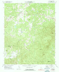
1972 Map of Ludville
USGS Topo · Published 1974About this map
Ludville and Hinton anchor the northern reaches of this north Georgia landscape, where the topography of the Appalachian foothills transitions into the broad Salacoa Valley. The map reveals a community structured around rural intersections and water sources, with several country churches like Pleasant Hill Ch and Friendship Ch serving as local focal points. To the south, the terrain becomes increasingly steep and complex, dominated by peaks such as Henderson Mtn and Oakey Mountain.
Find a feature on this map
42 named features on this map. Tap any name to fly to it.
Don’t see what you’re looking for? This feature index may not catch every label — zoom into the map to look around manually.
Map Details
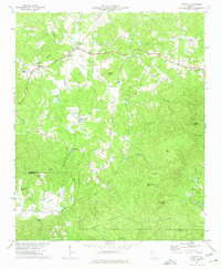
Editions of this 1972 Ludville Map
2 editions found
Other maps of this area

1886 · Dalton
USGS Topo · 1:125,000

1888 · Ellijay
USGS Topo · 1:125,000

1890 · Suwanee
USGS Topo · 1:125,000

1890 · Cartersville
USGS Topo · 1:125,000

1891 · Cartersville
USGS Topo · 1:125,000

1892 · Ellijay
USGS Topo · 1:125,000

1892 · Dalton
USGS Topo · 1:125,000

1894 · Suwanee
USGS Topo · 1:125,000

1896 · Cartersville
USGS Topo · 1:125,000

1897 · Dalton
USGS Topo · 1:125,000