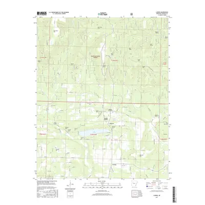
2017 Map of Ludwig
USGS Topo · Published 2017About this map
Lake Ludwig anchors the southern portion of this Arkansas landscape, where the foothills of the Boston Mountains begin to rise within the Ozark National Forest. Small settlements such as Hillcrest, Ludwig, and Osborn Point are connected by a network of county roads that navigate the complex system of ridges and hollows, including Blackard Hollow and Officers Hollow. The topography is defined by prominent elevations like Woods Mtn and Stillwell Mtn, while the drainage of Spadra Cr and its tributaries such as Basham Cr shape the valley floors.
Find a feature on this map
115 named features on this map. Tap any name to fly to it.
Don’t see what you’re looking for? This feature index may not catch every label — zoom into the map to look around manually.
Map Details
Editions of this 2017 Ludwig Map
This is the sole edition of this map. No revisions or reprints were ever made.
Other maps of this area

1887 · Magazine Mountain #1
USGS Topo · 1:62,500

1887 · Magazine Mountain
USGS Topo · 1:62,500

1888 · Dardanelle #2
USGS Topo · 1:62,500

1889 · Ozone
USGS Topo · 1:62,500

1890 · Magazine Mountain
USGS Topo · 1:125,000

1890 · Dardanelle
USGS Topo · 1:125,000

1906 · Batson
USGS Topo · 1:62,500

1934 · Ozone
USGS Topo · 1:62,500

1936 · Ozone
USGS Topo · 1:62,500

1956 · Russellville
USGS Topo · 1:250,000