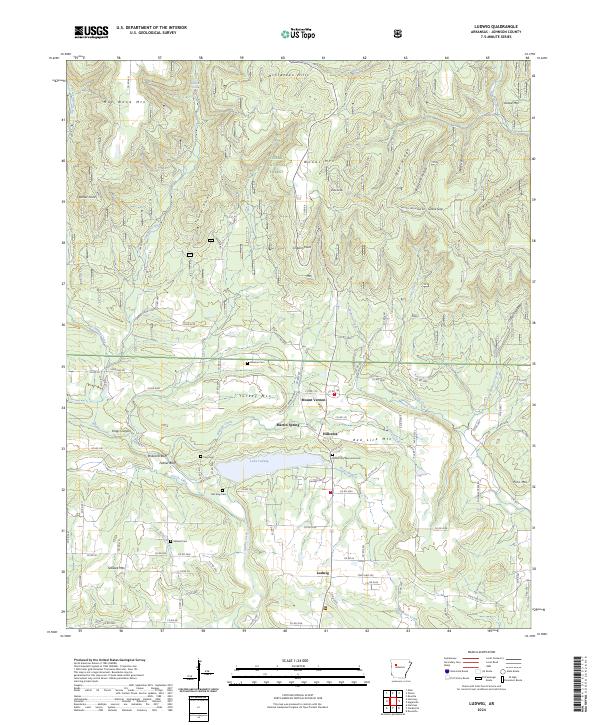
2024 Map of Ludwig
USGS Topo · Published 2024About this map
Lake Ludwig anchors this central portion of Johnson County, serving as a focal point for the surrounding rural communities of Mount Vernon, Hillcrest, and Ludwig. The terrain is characterized by the high ridges of the Ozark National Forest, including Woods Mtn and Red Lick Mtn, which give way to a complex system of drainages such as Spadra Creek and Minnow Creek. This 2024 survey captures a landscape where legacy family landmarks and modern infrastructure coexist, evidenced by the numerous small burial grounds like Johnson Cem and King Cem tucked near creek bends.
Find a feature on this map
118 named features on this map. Tap any name to fly to it.
Don’t see what you’re looking for? This feature index may not catch every label — zoom into the map to look around manually.
Map Details
Editions of this 2024 Ludwig Map
This is the sole edition of this map. No revisions or reprints were ever made.
Other maps of this area

1887 · Magazine Mountain #1
USGS Topo · 1:62,500

1887 · Magazine Mountain
USGS Topo · 1:62,500

1888 · Dardanelle #2
USGS Topo · 1:62,500

1889 · Ozone
USGS Topo · 1:62,500

1890 · Magazine Mountain
USGS Topo · 1:125,000

1890 · Dardanelle
USGS Topo · 1:125,000

1906 · Batson
USGS Topo · 1:62,500

1934 · Ozone
USGS Topo · 1:62,500

1936 · Ozone
USGS Topo · 1:62,500

1956 · Russellville
USGS Topo · 1:250,000