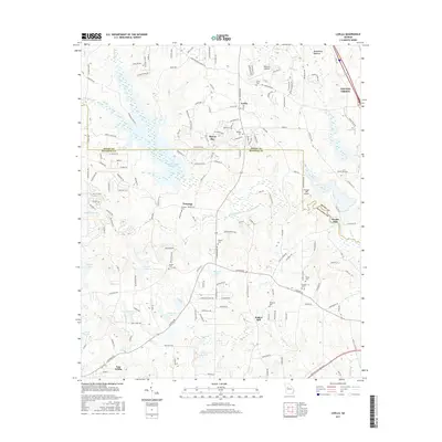
2017 Map of Luella
USGS Topo · Published 2017About this map
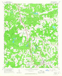
Locust Grove and the residential expansion of Heron Bay characterize this northern portion of the Georgia Piedmont. The landscape is defined by its transition from rural holdings to suburban clusters, with the Towalaga River and Upper Towalaga Reservoir serving as central hydrologic features. Local history is deeply embedded in the terrain through family-named landmarks such as Steeles Mill and Walker Mill, alongside numerous small burial grounds including Barham Cem and Manley Cem. The Towalaga settlement area and Luella show the persistent footprint of earlier community centers amid modern developments. Water is a dominant theme, with dozens of named impoundments such as Dundee Lake, Horton Lake, and Regents Lake dotting the drainages of Troublesome Cr and Long Br. This survey captures the county line where Henry and Spalding Counties meet, reflecting a region evolving from its mill-and-agriculture roots into a modern transportation corridor.
Find a feature on this map
172 named features on this map. Tap any name to fly to it.
Don’t see what you’re looking for? This feature index may not catch every label — zoom into the map to look around manually.
Map Details
Editions of this 2017 Luella Map
This is the sole edition of this map. No revisions or reprints were ever made.
Other maps of this area

1951 · Barnesville
USGS Topo · 1:62,500

1953 · Atlanta
USGS Topo · 1:250,000

1957 · Atlanta
USGS Topo · 1:250,000

1958 · Atlanta
USGS Topo · 1:250,000

1964 · Luella
USGS Topo · 1:24,000
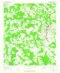
1964 · Mc Donough
USGS Topo · 1:24,000
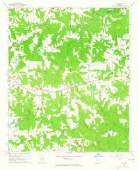
1964 · Ola
USGS Topo · 1:24,000
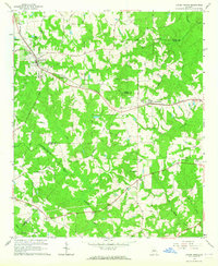
1964 · Locust Grove
USGS Topo · 1:24,000
1965 · Hampton
USGS Topo · 1:24,000

1965 · Griffin North
USGS Topo · 1:24,000