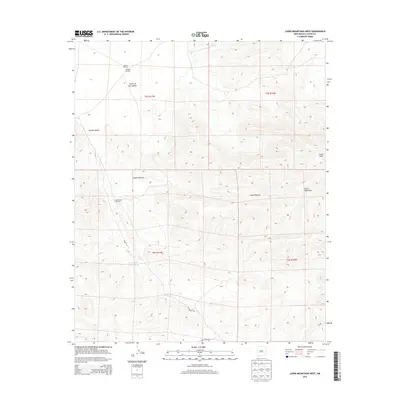
2013 Map of Luera Mountains West
USGS Topo · Published 2013About this map
The Plains of San Agustin dominate the northwestern portion of this landscape, marking a transition into the high-altitude topography of Catron County. The terrain is defined by the significant rise of the Luera Mountains, where Luera Peak stands as a prominent landmark. This area is characterized by its deep drainage systems, including the extensive Obaro Cyn, Alamo Canyon, and the winding Cañon Obscura. Human presence in this high-desert environment is evidenced primarily by water infrastructure essential for ranching and survival in the arid West. Landmarks such as the Eloisia Windmill, Hay Pasture Windmill, and Above Hay Pasture Tank indicate the vital importance of groundwater management. Travel through the southern portion of the quadrangle is facilitated by Forest Road 30, providing access through the rugged canyons and mountainous slopes that define this part of New Mexico.
Find a feature on this map
14 named features on this map. Tap any name to fly to it.
Don’t see what you’re looking for? This feature index may not catch every label — zoom into the map to look around manually.
Map Details
Editions of this 2013 Luera Mountains West Map
This is the sole edition of this map. No revisions or reprints were ever made.
Other maps of this area
1918 · Pelona
USGS Topo · 1:125,000

1954 · Tularosa
USGS Topo · 1:250,000

1954 · Clifton
USGS Topo · 1:250,000

1957 · Clifton
USGS Topo · 1:250,000

1958 · Clifton
USGS Topo · 1:250,000

1958 · Tularosa
USGS Topo · 1:250,000
1962 · Clifton
USGS Topo · 1:250,000
1979 · San Mateo Mountains
USGS Topo · 1:100,000
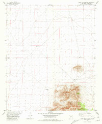
1981 · Luera Mountains NW
USGS Topo · 1:24,000
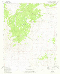
1981 · Pelona Mountain
USGS Topo · 1:24,000