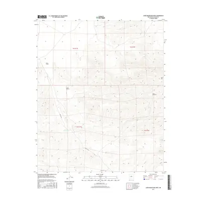
2017 Map of Luera Mountains West
USGS Topo · Published 2017About this map
The Luera Mountains dominate this high-elevation landscape in Catron County, culminating at the prominent Luera Peak. This 2017 survey reveals a remote terrain defined by deep drainages and cattle ranching infrastructure, such as the Above Hou Pasture Tank. The map tracks several major geographical formations, including the winding path of Alamo Canyon and the rugged Cañon Obscura. Transportation is limited to primitive routes like Forest Rd 30, which provides access to the southern reaches of the mountains. The absence of modern towns or dense road networks emphasizes the area's continued use for grazing and wilderness management, with Obaro Canyon cutting a distinct path through the western townships.
Find a feature on this map
11 named features on this map. Tap any name to fly to it.
Don’t see what you’re looking for? This feature index may not catch every label — zoom into the map to look around manually.
Map Details
Editions of this 2017 Luera Mountains West Map
This is the sole edition of this map. No revisions or reprints were ever made.
Other maps of this area
1918 · Pelona
USGS Topo · 1:125,000

1954 · Tularosa
USGS Topo · 1:250,000

1954 · Clifton
USGS Topo · 1:250,000

1957 · Clifton
USGS Topo · 1:250,000

1958 · Clifton
USGS Topo · 1:250,000

1958 · Tularosa
USGS Topo · 1:250,000
1962 · Clifton
USGS Topo · 1:250,000
1979 · San Mateo Mountains
USGS Topo · 1:100,000
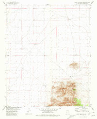
1981 · Luera Mountains NW
USGS Topo · 1:24,000
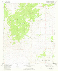
1981 · Pelona Mountain
USGS Topo · 1:24,000