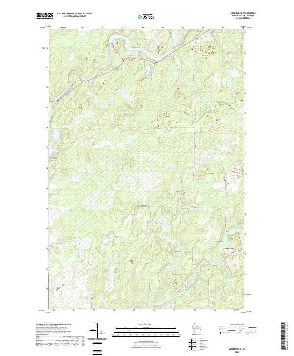
2022 Map of Lugerville
USGS Topo · Published 2022About this map
The unincorporated community of Lugerville stands as the primary settlement on this map, situated near the banks of the South Fork Flambeau River. This area of Price County is characterized by a dense network of watercourses and wetlands, most notably the expansive Million Acre Swamp which dominates the central geography. The landscape is a complex of creeks and springs, including the distinctive Niebauer Springs and Mount Pelier Cr, reflecting the region's glacial legacy and its role in the northwoods water system. The convergence of the Flambeau River and South Fork Flambeau River in the northern and eastern sections creates a landscape defined by seasonal flow, evidenced by the Rocky Carry Rapids near the settlement. Transportation is facilitated by a grid of rural routes such as Co Hwy F and Tower Rd, providing access to isolated water bodies like Peters Lake and LeClaire Lake.
Find a feature on this map
48 named features on this map. Tap any name to fly to it.
Don’t see what you’re looking for? This feature index may not catch every label — zoom into the map to look around manually.
Map Details
Editions of this 2022 Lugerville Map
This is the sole edition of this map. No revisions or reprints were ever made.
Other maps of this area

1941 · Park Falls
USGS Topo · 1:48,000

1941 · Kennan
USGS Topo · 1:48,000

1941 · Kennedy
USGS Topo · 1:48,000

1941 · Phillips
USGS Topo · 1:48,000

1943 · Park Falls
USGS Topo · 1:48,000

1943 · Philliips
USGS Topo · 1:48,000

1945 · Kennedy
USGS Topo · 1:48,000

1945 · Kennan
USGS Topo · 1:48,000

1947 · Park Falls
USGS Topo · 1:48,000

1953 · Rice Lake
USGS Topo · 1:250,000