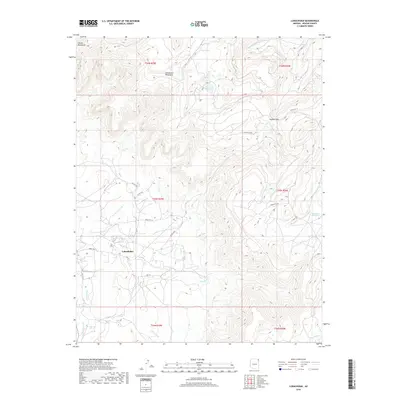
2018 Map of Lukachukai
USGS Topo · Published 2018About this map
Lukachukai sits at the western base of the high-altitude divide where the Chuska Mountains and Lukachukai Mountains meet. This 2018 survey detail shows a network of tribal and local roads, including Indian Rte 13 and BIA Rd N133, which navigate the complex drainage systems of the high desert. To the east, the terrain rises sharply toward Buffalo Pass, a significant mountain crossing near the continental divide. The landscape is defined by its water sources, from high mountain catchments like Big Lake and Aspen Spring to the seasonal courses of Lizard Wash and Greasewood Wash. These features highlight the traditional and modern importance of water management and transit routes in the Shiprock Agency region of the Navajo Nation.
Find a feature on this map
29 named features on this map. Tap any name to fly to it.
Don’t see what you’re looking for? This feature index may not catch every label — zoom into the map to look around manually.
Map Details
Editions of this 2018 Lukachukai Map
This is the sole edition of this map. No revisions or reprints were ever made.
Other maps of this area
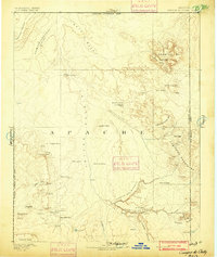
1892 · Canyon De Chelly
USGS Topo · 1:250,000
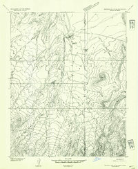
1953 · Redrock Valley SE
USGS Topo · 1:24,000
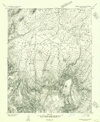
1953 · Redrock Valley SW
USGS Topo · 1:24,000
1953 · Los Gigantes SE
USGS Topo · 1:24,000
1953 · Los Gigantes Buttes
USGS Topo · 1:62,500
1953 · Redrock Valley
USGS Topo · 1:62,500
1954 · Shiprock
USGS Topo · 1:250,000
1955 · Sonsala Butte 1 NW
USGS Topo · 1:24,000
1955 · Sonsala Butte 1 SE
USGS Topo · 1:24,000
1955 · Sonsala Butte 1 NE
USGS Topo · 1:24,000