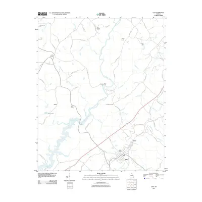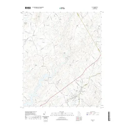
2024 Map of Lula
USGS Topo · Published 2024About this map
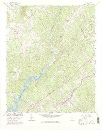
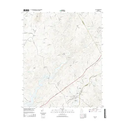
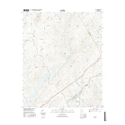
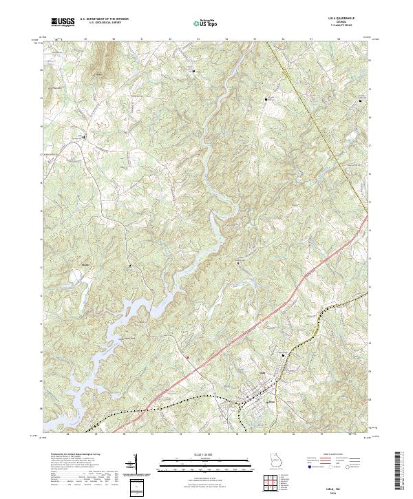
The Chattahoochee River and North Oconee River headwaters define the topography of this Georgia landscape, where the settlements of Lula and Bellton sit at a critical junction of transport and terrain. This modern survey illustrates the enduring rural footprint of Hall, Habersham, and Banks counties, characterized by numerous family and community landmarks like Clemons Chapel Cem, Bellton Cem, and Skitts Mountain Cem. The high ground of Skitt Mtn and Hog Mountain overlooks a network of small waterways including Little Mud Creek and Pitts Creek. The presence of Seven Island Ford on the Chattahoochee points to historical river crossings that predated modern bridges, while the alignment of Lanier Pkwy through the center of the sheet shows the evolution of regional transit corridor development alongside older routes like Old Cornelia Hwy.
Find a feature on this map
116 named features on this map. Tap any name to fly to it.
Don’t see what you’re looking for? This feature index may not catch every label — zoom into the map to look around manually.
Map Details
Editions of this 2024 Lula Map
This is the sole edition of this map. No revisions or reprints were ever made.
Historical Maps of Lula Through Time
6 maps found