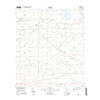
2015 Map of Lulu
USGS Topo · Published 2015About this map
Lulu and the surrounding rural landscape of the Columbia Co Union Co border are detailed in this 2015 study. The terrain is defined by low-lying wetlands and drainage systems, including Cedar Hammock and the winding course of Olustee Cr. The transition from Columbia County into Union County is marked by the small settlements of Guilford and Cliftonville, which sit along the corridor of SR 100. Genealogists will find significant value in the location of several rural burial sites, such as Gillen Allen Cem, New Zion Cem, and Douglas Cem, which anchor the local history of these unincorporated communities. The eastern edge of the map features the Florida National Scenic Trail as it passes near Palestine Lake, highlighting the area's mix of timberland, small-scale agriculture, and preserved natural corridors in the Florida interior.
Find a feature on this map
135 named features on this map. Tap any name to fly to it.
Don’t see what you’re looking for? This feature index may not catch every label — zoom into the map to look around manually.
Map Details
Editions of this 2015 Lulu Map
This is the sole edition of this map. No revisions or reprints were ever made.
Other maps of this area

1954 · Gainesville
USGS Topo · 1:250,000

1954 · Valdosta
USGS Topo · 1:250,000

1958 · Valdosta
USGS Topo · 1:250,000

1958 · Gainesville
USGS Topo · 1:250,000

1959 · Valdosta
USGS Topo · 1:250,000

1959 · Gainesville
USGS Topo · 1:250,000

1962 · Lake City East
USGS Topo · 1:24,000

1962 · Mikesville
USGS Topo · 1:24,000

1963 · Olustee
USGS Topo · 1:24,000

1963 · Sanderson South
USGS Topo · 1:24,000