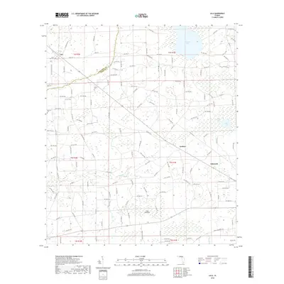
2018 Map of Lulu
USGS Topo · Published 2018About this map
Lulu and Guilford anchor this landscape along the Columbia and Union County line, where the rural character of northern Florida is defined by its intricate wetlands and bay systems. The terrain transitions from the open waters of Palestine Lake and Fisher Lake to the dense, saturated environments of the Swift Creek Swamp. These natural features have historically shaped the settlement patterns and road networks, such as SE Countyline Rd and Croft Rd, which navigate around the low-lying reaches of Olustee Creek and Swift Creek. For genealogists and local historians, the map preserves the locations of several community landmarks, including Douglas Cemetery, New Zion Cemetery, and Gillen-Allen Cemetery. The presence of distinctive terrain markers like Cedar Hammock and Center Bay highlights the persistent wetland geography that continues to influence the region's development.
Find a feature on this map
147 named features on this map. Tap any name to fly to it.
Don’t see what you’re looking for? This feature index may not catch every label — zoom into the map to look around manually.
Map Details
Editions of this 2018 Lulu Map
This is the sole edition of this map. No revisions or reprints were ever made.
Other maps of this area

1954 · Gainesville
USGS Topo · 1:250,000

1954 · Valdosta
USGS Topo · 1:250,000

1958 · Valdosta
USGS Topo · 1:250,000

1958 · Gainesville
USGS Topo · 1:250,000

1959 · Valdosta
USGS Topo · 1:250,000

1959 · Gainesville
USGS Topo · 1:250,000

1962 · Lake City East
USGS Topo · 1:24,000

1962 · Mikesville
USGS Topo · 1:24,000

1963 · Olustee
USGS Topo · 1:24,000

1963 · Sanderson South
USGS Topo · 1:24,000