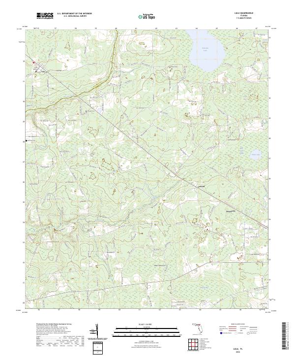
2024 Map of Lulu
USGS Topo · Published 2024About this map
Lulu and the surrounding rural landscape of the Columbia and Union county line are defined by a network of creeks and wetlands in this northern Florida region. The settlement of Guilford sits at a crossroads near the center of the area, while Cliftonville marks the southeastern reach. Water dominates the eastern half of the map, characterized by the broad expanse of Palestine Lake and the dense vegetation of Swift Creek Swamp, Granny Bay, and Center Bay.
Find a feature on this map
152 named features on this map. Tap any name to fly to it.
Don’t see what you’re looking for? This feature index may not catch every label — zoom into the map to look around manually.
Map Details
Editions of this 2024 Lulu Map
This is the sole edition of this map. No revisions or reprints were ever made.
Other maps of this area

1954 · Gainesville
USGS Topo · 1:250,000

1954 · Valdosta
USGS Topo · 1:250,000

1958 · Valdosta
USGS Topo · 1:250,000

1958 · Gainesville
USGS Topo · 1:250,000

1959 · Valdosta
USGS Topo · 1:250,000

1959 · Gainesville
USGS Topo · 1:250,000

1962 · Lake City East
USGS Topo · 1:24,000

1962 · Mikesville
USGS Topo · 1:24,000

1963 · Olustee
USGS Topo · 1:24,000

1963 · Sanderson South
USGS Topo · 1:24,000