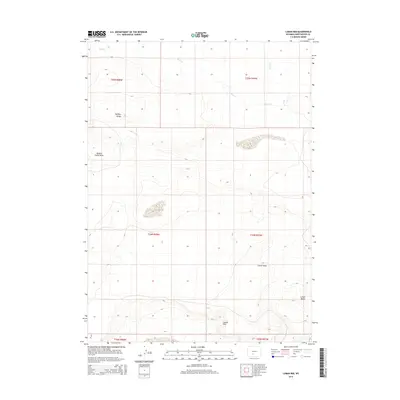
2015 Map of Luman Rim
USGS Topo · Published 2015About this map
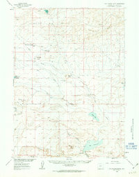
Luman Rim and the surrounding high desert of Sweetwater County define this corner of the Wyoming landscape. The terrain is characterized by prominent geologic formations such as Buffalo Hump and its namesake Buffalo Hump Basin to the west. Sparse drainage patterns are evident through the seasonal reaches of Bush Cr and Bear Cr, which cut through the open rangeland. The map illustrates a high-altitude environment shaped by erosion, with Cronin Draw and the isolated Luman Butte serving as key navigational markers in a region largely defined by its topography rather than permanent settlements. This 2015 survey by the U.S. Geological Survey provides a precise view of the public land survey system divisions across the township lines of T24N and T25N.
Find a feature on this map
13 named features on this map. Tap any name to fly to it.
Don’t see what you’re looking for? This feature index may not catch every label — zoom into the map to look around manually.
Map Details
Editions of this 2015 Luman Rim Map
This is the sole edition of this map. No revisions or reprints were ever made.
Other maps of this area

1954 · Rock Springs
USGS Topo · 1:250,000

1955 · Lander
USGS Topo · 1:250,000

1958 · Lander
USGS Topo · 1:250,000

1958 · Rock Springs
USGS Topo · 1:250,000
1958 · Twelvemile Well
USGS Topo · 1:62,500
1958 · The Pinnacles
USGS Topo · 1:62,500
1960 · Red Lake
USGS Topo · 1:62,500
1960 · Five Fingers Butte
USGS Topo · 1:62,500

1961 · Lander
USGS Topo · 1:250,000

1962 · Rock Springs
USGS Topo · 1:250,000