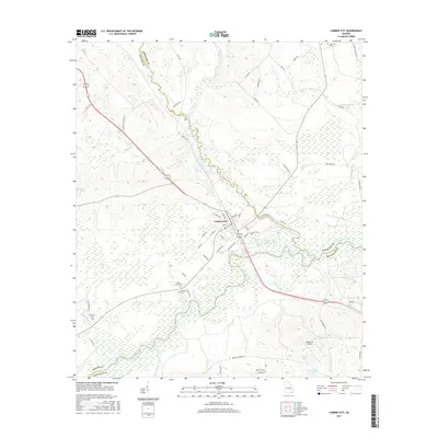
2017 Map of Lumber City
USGS Topo · Published 2017About this map
Lumber City serves as the focal point of this South Georgia landscape, situated at the confluence where the Little Ocmulgee River joins the main Ocmulgee River. The town's layout is defined by its relationship to the water and the corridor of W Railroad Ave, reflecting a history tied to both river transport and rail commerce. To the south, the terrain transitions into a complex network of wetlands and small water bodies including Cook Lake, Cook Lake North, and Sears Lake.
Find a feature on this map
68 named features on this map. Tap any name to fly to it.
Don’t see what you’re looking for? This feature index may not catch every label — zoom into the map to look around manually.
Map Details
Editions of this 2017 Lumber City Map
This is the sole edition of this map. No revisions or reprints were ever made.
Other maps of this area
1953 · Waycross
USGS Topo · 1:250,000
1957 · Macon
USGS Topo · 1:250,000
1958 · Macon
USGS Topo · 1:250,000
1958 · Waycross
USGS Topo · 1:250,000
1964 · Macon
USGS Topo · 1:250,000
1970 · Scotland
USGS Topo · 1:24,000
1970 · Uvalda
USGS Topo · 1:24,000
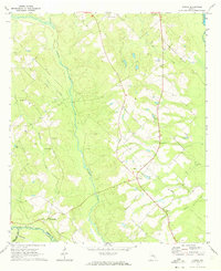
1970 · Jordan
USGS Topo · 1:24,000
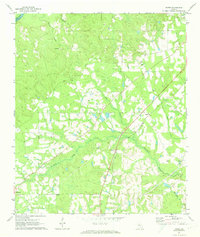
1971 · Roper
USGS Topo · 1:24,000
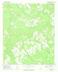
1971 · Jacksonville NE
USGS Topo · 1:24,000