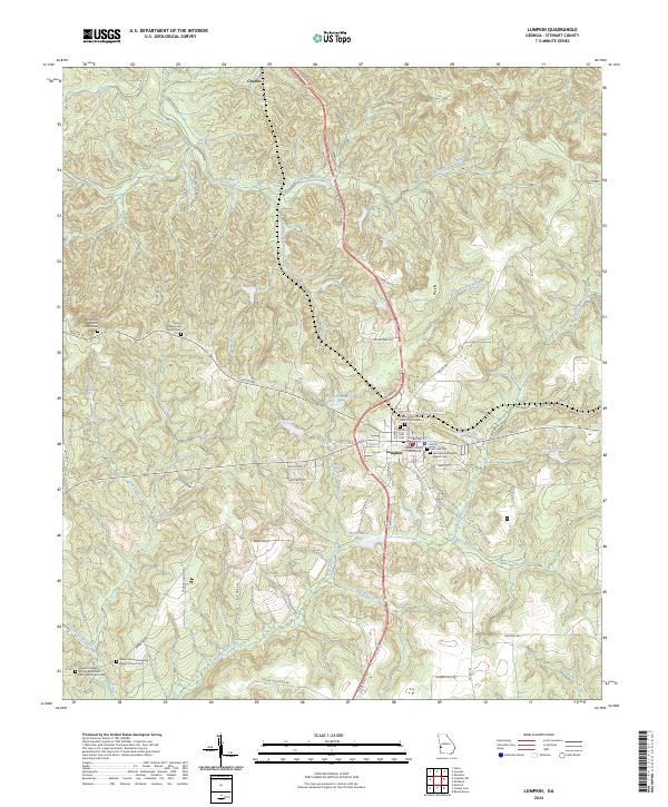
2024 Map of Lumpkin
USGS Topo · Published 2024About this map
Lumpkin serves as the central hub of this Georgia landscape, anchored by the Stewart County Courthouse and a surrounding network of historic churches and cemeteries. The town's grid, defined by streets like Broad St and Main St, gives way to a terrain heavily shaped by water and small-scale milling history. Numerous impoundments and ponds, such as Ushers Millpond, Davis Pond, and Hodchodkee Pond, suggest a legacy of water management and local industry along the many branches of Hodchodkee Creek.
Find a feature on this map
72 named features on this map. Tap any name to fly to it.
Don’t see what you’re looking for? This feature index may not catch every label — zoom into the map to look around manually.
Map Details
Editions of this 2024 Lumpkin Map
This is the sole edition of this map. No revisions or reprints were ever made.
Other maps of this area

1949 · Julia
USGS Topo · 1:24,000

1950 · Louvale
USGS Topo · 1:24,000

1950 · Lumpkin
USGS Topo · 1:24,000

1950 · Lumpkin SW
USGS Topo · 1:24,000

1950 · Lumpkin
USGS Topo · 1:62,500

1953 · Dothan
USGS Topo · 1:250,000

1954 · Dothan
USGS Topo · 1:250,000

1955 · Dothan
USGS Topo · 1:250,000

1955 · Lumpkin
USGS Topo · 1:24,000
1955 · Louvale
USGS Topo · 1:24,000