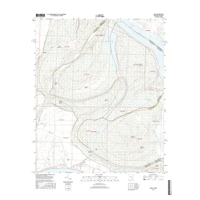
2017 Map of Luna
USGS Topo · Published 2017About this map
Mississippi River hydrology dominates this borderland between Chicot County, Arkansas, and Washington County, Mississippi. The map reveals the intricate evolution of the river's path, featuring prominent cutoff and oxbow formations such as Ashbrook Cutoff, Old River, and the elongated Lake Paradise. These water bodies define several distinct landforms, including Ashbrook Neck and Leland Neck, which show the historical migration of the state line.
Find a feature on this map
58 named features on this map. Tap any name to fly to it.
Don’t see what you’re looking for? This feature index may not catch every label — zoom into the map to look around manually.
Map Details
Editions of this 2017 Luna Map
This is the sole edition of this map. No revisions or reprints were ever made.
Other maps of this area

1933 · Lamont
USGS Topo · 1:62,500

1936 · McGehee
USGS Topo · 1:62,500

1936 · Lake Village
USGS Topo · 1:62,500

1937 · McGehee
USGS Topo · 1:62,500

1939 · Refuge
USGS Topo · 1:62,500

1939 · Lamont
USGS Topo · 1:62,500

1953 · Greenwood
USGS Topo · 1:250,000

1955 · Lake Village
USGS Topo · 1:62,500

1955 · McGehee
USGS Topo · 1:62,500

1956 · Greenwood
USGS Topo · 1:250,000